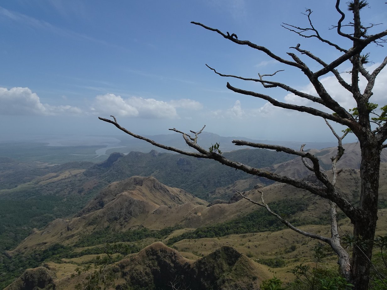
Altos de Campana is said to be one of Panama’s least-visited National Parks. I assume the reason is that it lies about half-way between traveler favourites Panama City and El Valle de Antón, so most people just pass it by without a second thought while zipping around between these two destinations.
We’re suckers for off-the-beaten-path places, so naturally we had to check out the country’s oldest National Park (established in 1966) and we weren’t disappointed. It’s full of awesome viewpoints and some beautiful patches of rainforest.
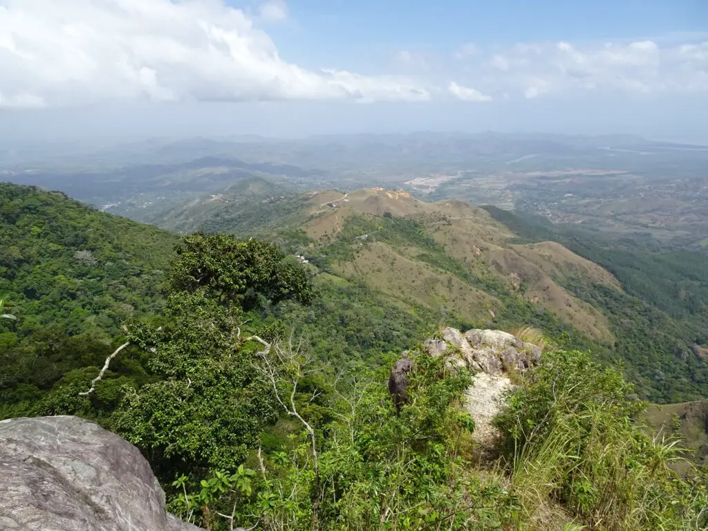
Read on for everything you need to know about exploring this small National Park!
This post may contain affiliate links, and I might earn a small commission at no additional cost to you. For more info, click here.
How to Get to the Park
If you’re traveling by public transport (like we did), you can take pretty much any Westbound bus from Panama City‘s Albrook Terminal and get off at Capira town, which lies directly along the Panamericana.
The same goes if you’re coming from the West, of course. Any bus headed to Panama City will pass through the town and can drop you off in the centre of town.
In Capira, small minibuses bound for Chica Village leave from in front of Lily’s Chinese Restaurant and can drop you at the entrance to the park. The whole trip from Panama City took us about 1.5 hours.
Guided Visits to Altos de Campana NP
If you want to avoid the hassle of traveling to the park by public transport or prefer the company of a guide, there are also a number of private tours to the park available. This one has great reviews, for instance.
Hiking Trails in Altos de Campana National Park
Sendero Panama
This is the main trail in the park, looping out from the Capira-Chica Roard. It leads through some nice patches of forest, but mainly serves to connect you to the trailheads of the other hikes. For instance, the trailhead of the Sendero La Cruz Trail is about 15 minutes along Sendero Panama.
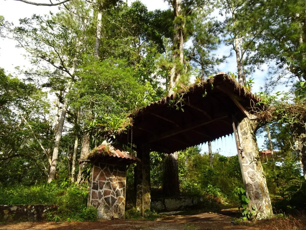
There’ll be a ranger posted at the eastern end, who’ll ask you to sign the guest book. Check out the conifer trees lining the trailhead, as they have bromeliads growing on their branches, which makes for quite an incongruous sight.
Sendero La Cruz
If you hike just one trail in the national park, I suggest you make it this one. The Sendero La Cruz leads through some absolutely beautiful patches of lush rainforest and ends at a viewpoint with great views of the surrounding hills.
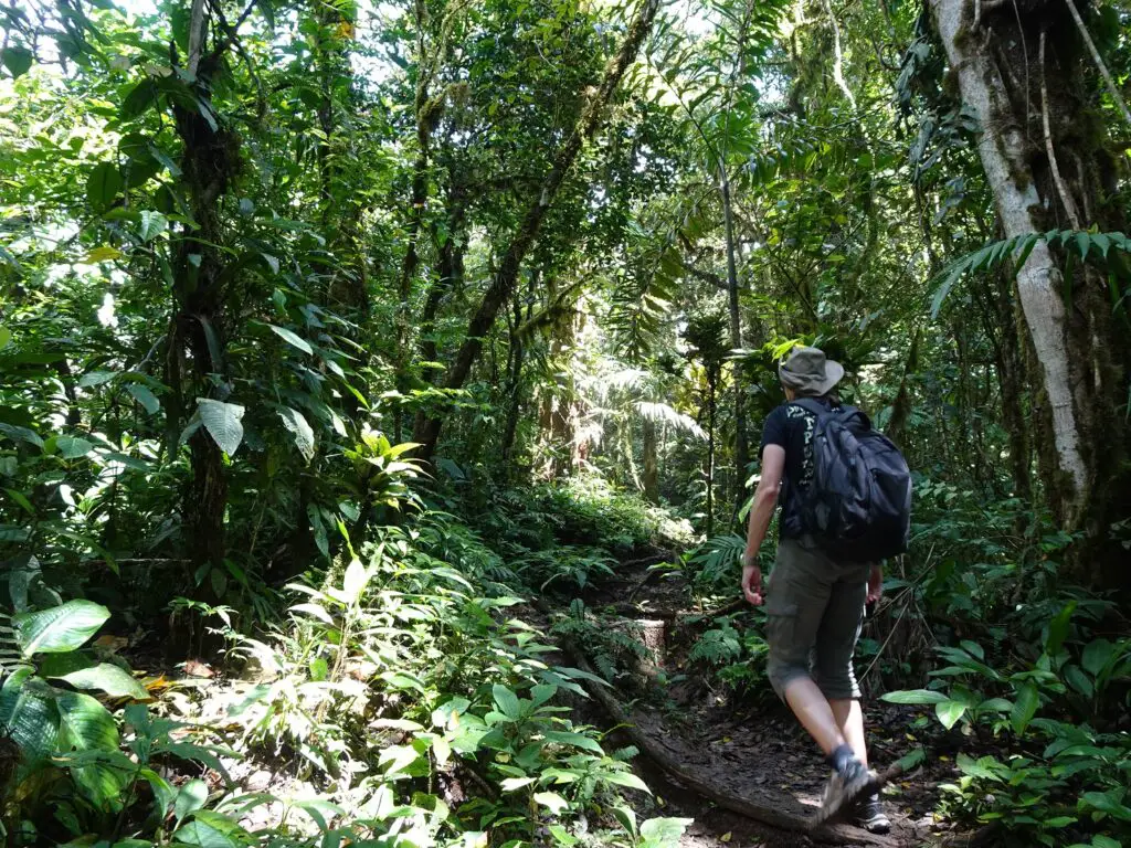
The trail isn’t easy, though, and you’ll have to make sure to wear proper hiking shoes and tread carefully. The climatic conditions here mean that the ground is pretty much wet 24/7 and there are some very slippery rocks and muddy slopes to navigate.
At the most complicated points, ropes and railings have been set up to give you something to hold on to, but these have seen better times, too. The viewpoint at the end of the trail is marked by the tall concrete Campana Cross, from which the hike takes its name.
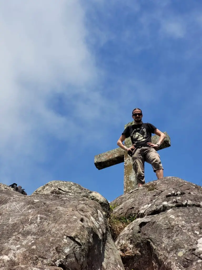
If you would like to climb up there, make sure to circle around the rock first and climb it from the back, which is much easier. You’ll still need a steady footing and a head for heights, as there is a huge drop on the left-hand side while climbing up.
If that’s not for you, the views from the foot of the rock are just as great, especially down to the Pacific Ocean and the mouth of the Rio Sajalices to the East. About two thirds along the way to the cross, you’ll come to a small intersection with a narrow trail leading up Cerro Campana, the highest mountain in the park.

Stefanie wisely waited at the intersection, while I tried my luck climbing it, but the top turned out to be completely covered in vegetation and there were no views there. I also found out the hard way that this area is firmly in the hands of very territorial army ants, so I’d recommend skipping the detour altogether😅.
With some time to enjoy the views, and the detour to Cerro Campana, the hike from the trailhead to the viewpoint at the cross and back took us around 2 hours.
Sendero Podocarpus
About ten minutes west of the Sendero de la Cruz trailhead, you’ll come to the start of the Sendero Podocarpus and Sendero Zamora trails, which (almost) connect to each other, so you can hike them as a loop.
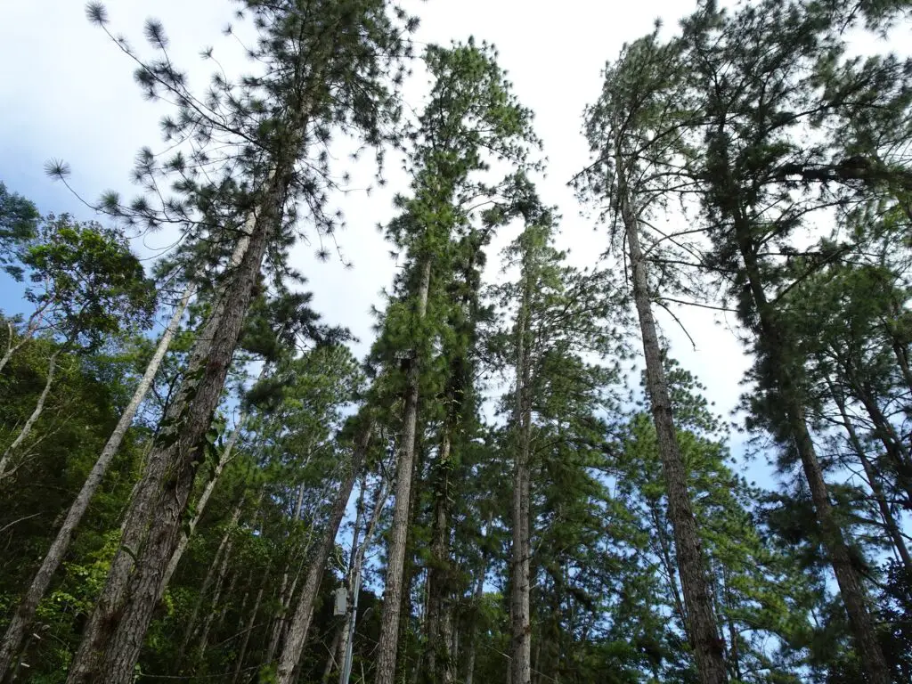
It doesn’t really make a difference with which trail you start. We chose Sendero Podocarpus, which is slightly shorter and ends up at a small camp ground surrounded by conifer trees, which are a rare sight in the jungle.
Also, make sure to have a look for the unusual Walking Palms with their huge, mangrove-like stilt roots that you can find in various places along the trail.
Sendero Zamora
If you continue past the camp ground and turn right at the next intersection, you’ll connect to the back end of the Sendero Zamora. This is another trail leading through some atmospheric sections of dense jungle.
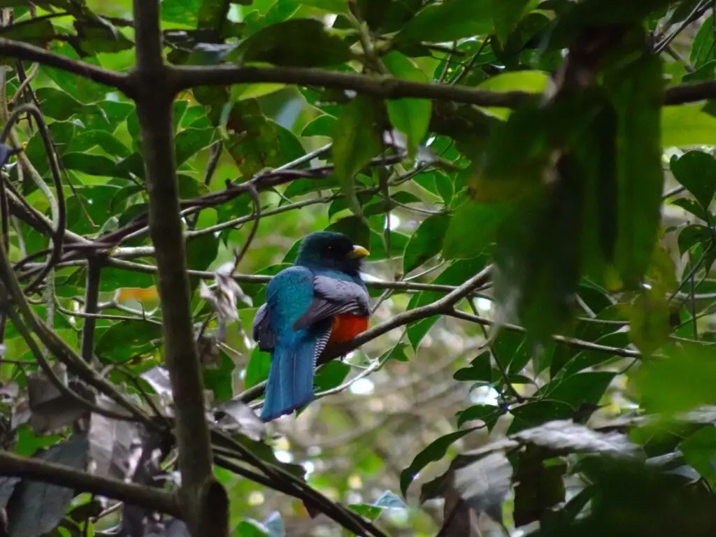
We saw more wildlife on this trail than on all the others, including a beautiful couple of orange-bellied trogons resting on a branch. There were also tons of butterflies, and in the perennial dusk of the dense vegetation we even spotted a couple of fireflies.
The trail will eventually lead to a slightly broader track, which brings you back to the trailhead of the Sendero Podocarpus along Sendero Panama. The whole loop took us about an hour to finish.
Other Trails in the National Park
On a map near the beginning of Sendero Panama, there was one more trail listed, called Sendero Rana Dorada (Gold Frog Trail). According to the map, the trailhead lies between Sendero La Cruz and Sendero Podocarpus, and the hike takes two hours.
However, when we checked out the trail, it didn’t look like it was maintained at all and there was no information sign there (as opposed to the other hikes), so I assume it’s more of a relic than an actual active trail.
Altos de Campana NP Map
This information sign from the park shows all the different hikes in Altos de Campana National Park.

Where to Stay In or Near the Park
We visited the Park on a day trip from Panama City, but if you prefer to stay around here, there are at least two holiday homes for rent in the area: Casa Blanca Chica and Hacienda Chica.
There is also a small camping ground at the end of Sendero Podocarpus. We didn’t find any further information on that, but I assume you should tell the ranger at the entrance to the park, if you’re planning on staying there.

Food in the Park
There are no restaurants or shops in the national park, so make sure to bring some food and plenty of water. We noticed a few small grocery stores on the Capira-Chica-Road, but the closest proper restaurants can be found in Capira.
If you have some time to kill, drop by the interregionally famous Quesos Chela Shop at the southern end of town. They don’t only sell tasty cheeses, but also some great stuffed pastries and fruit smoothies. We stocked up here before boarding the bus back to Panama City.
See Also
The Ultimate Guide to Backpacking Panama on a Budget
Wildlife Spotting in Panama – 18 Exotic Animals and Where to See Them
The 9 Best Hotels in Panama City for Different Travel Styles
