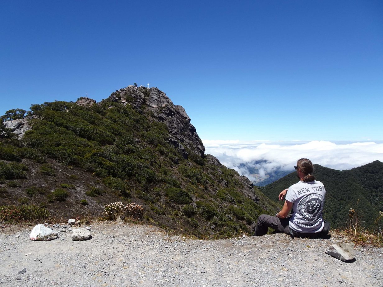
The moment we laid our eyes on the impressive mountain dominating Western Panama’s highlands, I knew that I had to climb to the top. At a height of 3,474 metres (11,401 ft), the views from the top are amazing and if you’re really lucky weather-wise, you’ll even be able to see both the Pacific and Atlantic Ocean from the summit.
So on one of our days in pretty Boquete, while Stefanie did some well-deserved R&R, I got up at dawn and took a bus to Volcán Barú National Park to climb Panama’s highest mountain. Here’s everything you need to know about reaching the summit of Volcán Barú.
This post may contain affiliate links, and I might earn a small commission at no additional cost to you. For more info, click here.
Reaching the Top by 4×4 Jeep Tours
The easiest option for reaching the top of Volcán Barú is to book a jeep tour. Most of these tours leave very early, to give you the chance to watch the sunrise on the mountain with the added bonus of being able to huddle in the car to avoid the chilly pre-dawn wind at 3,500m height.
The only downside is the price, as these tours cost around 150$. Still, if you don’t think you’re fit enough for the climb or really want to see the sunrise from the top, this might be the way to go for you.
Climbing Volcán Barú – Practicalities
If you want to feel the accomplishment of actually climbing a country’s highest mountain and/or are on a tight budget, climbing Volcán Barú is the best option and can easily be done in a day, if you’re reasonably fit.

.
Top 3 Places to Stay in Boquete
Budget Option: Boho by Arte Hostal Boquete
Midrange: Boquete Garden Inn (pictured)
Luxury Choice: Valle Escondido Wellness Resort
.
What Route Should You Use?
The easiest and most popular trail is the ascent along the eastern flank of the mountain. That’s the one I chose, as the trailhead is easiest to reach from Boquete.
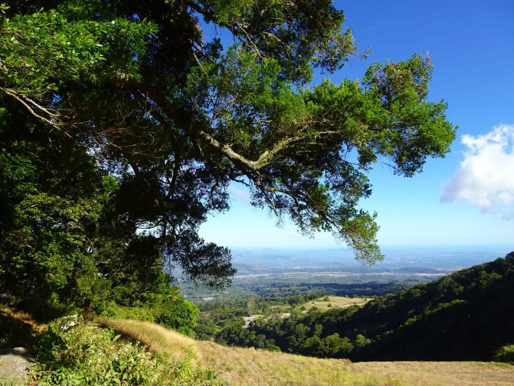
However, it’s said to not be the most attractive option and walking along the loose stones of the dirt track leading to the top can get a bit frustrating after a while (not to mention all the jeeps passing you on their way to/from the top). That said, I still mostly enjoyed the hike up the eastern side and the nice views of the Boquete Area that opened up from time to time.
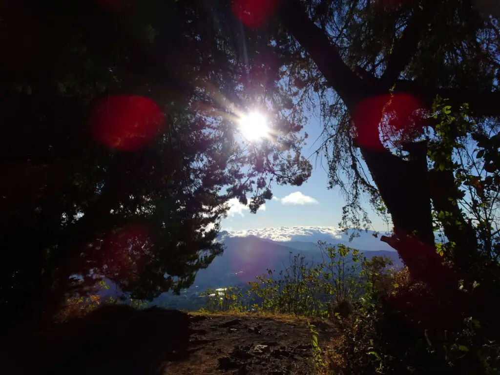
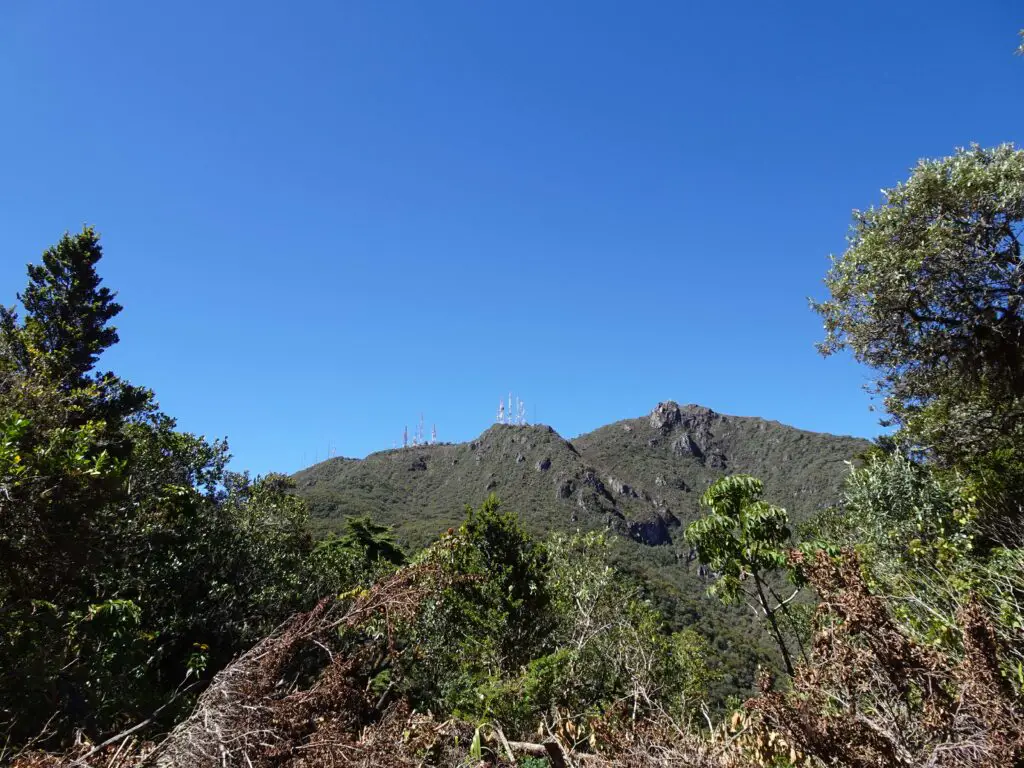
An alternative route ascends the Western flank of the mountain from the town of Vólcan. I met a couple on the summit, who used this trail and said it’s quite beautiful. However, they also said, that the ascent was very steep, and the trail was sometimes hard to navigate.
If you stay in the Volcán or Cerro Punta area to the west of Volcán Barú, you might want to choose this option, but I can’t give you any first-hand information and this post will be about the climb up the eastern side, which I did.
What’s the Distance and Elevation Gain?
The hike from the ranger station to the top is 13.5 km or 8.5 miles long. Taking the same route back brings the tally up to 27 km or 17 miles. If you take a bus to the trailhead, you’ll need to add an additional kilometre each way to get from the road junction to the ranger station.
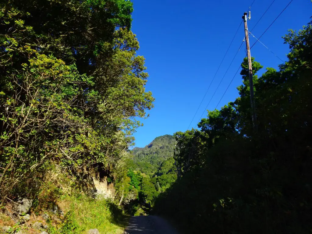
Keep in mind, that the distance isn’t the only tough part, though, as you have to climb up (and down) 1,900 m or 6,200 ft. during the hike. No one said it would be easy;)
How Long Does the Hike Take?
This obviously depends on your fitness level, but you’ll definitely need to plan an entire day for the climb. The entire hike from the ranger station to the top and back down took me about 9 hours. The ascent and descent both took me 4 hours, with an additional hour on top to enjoy the views (and catch my breath).
However, I have to admit that I hardly paused on the way up and other people told me that the climb itself took them about 6 hours, which would bring the entire hike up to 12 or 13 hours. If you start around dawn and are reasonably fit, you’ll definitely make it to the top and back down while it’s still light.
Do You Need a Guide?
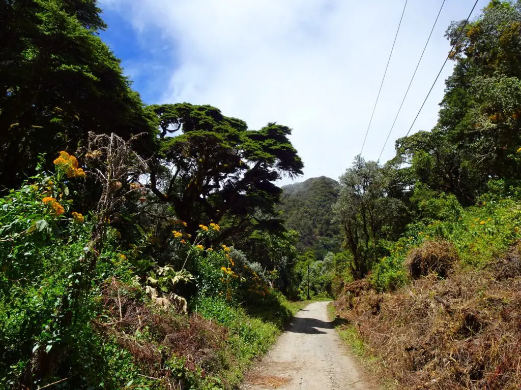
In my opinion, you don’t need a guide, and I did the whole thing completely by myself. The trail is very clear and easy to follow (it’s a dirt-track used by jeeps, after all) and unless you walk too close to the edge there’s not a lot that can happen.
The only part where you need to a little more careful comes right at the summit, for which you have to scramble up some rocks. If you’re an experienced hiker, that’s a piece of cake, though.
Is There an Entrance Fee for Volcán Barú?
Before my hike I was doing some research and read online that there was a 5$ entrance fee for the Volcán Barú National Park. However, when I arrived at the ranger station, I only had to register myself and wasn’t asked to pay anything.
Is Altitude Sickness a Problem?
At 3,474 metres (11,401 ft), you won’t get any huge problems with altitude sickness, but you might still feel a little light-headed. I got a small headache on top, but it quickly passed on the way down, and I’m not sure whether it had to do with the altitude, the exertion or a combination of both.
What to Pack?
Definitely bring a sweater or jacket, as it can get quite windy at top, even if the sun is out. If you plan on spending the night, you’ll need even warmer clothes apart from some camping gear.
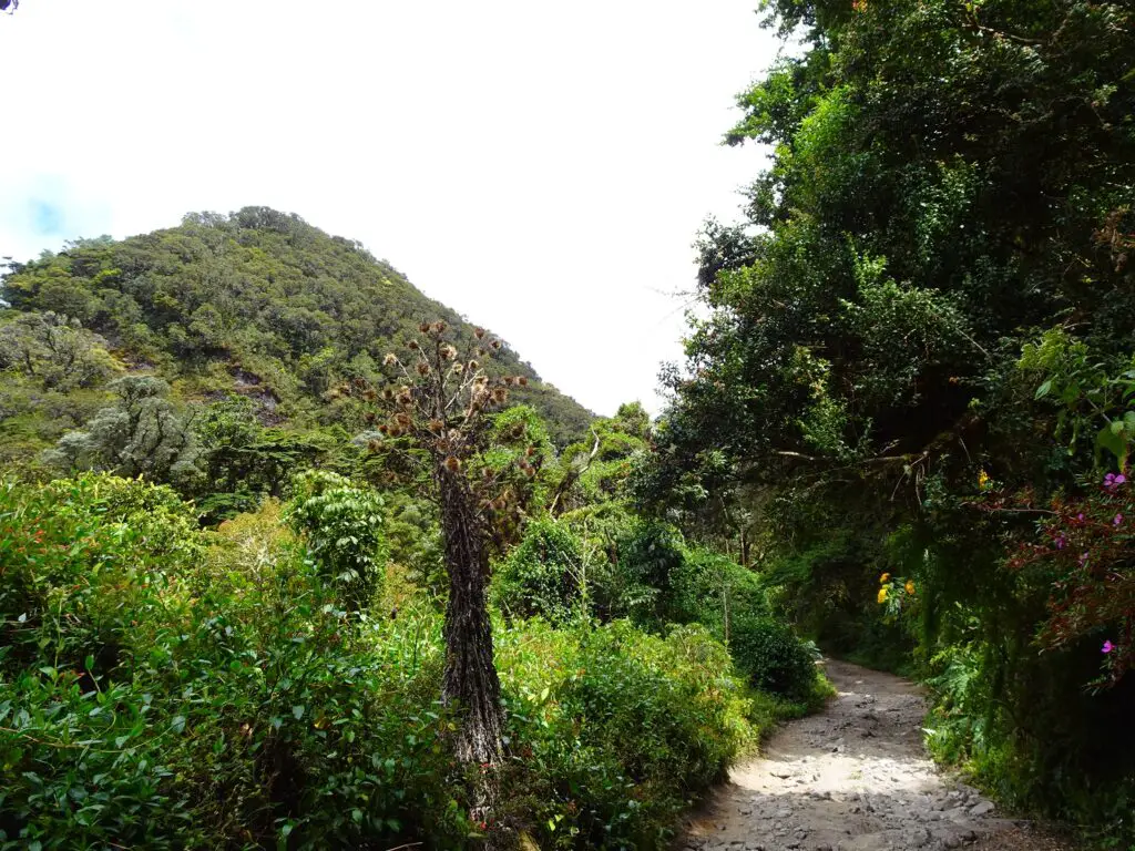
Otherwise, you’ll obviously need some proper hiking shoes. The trail is not too crazy, but the loose gravel along the way means you need a decent grip. Some hiking poles would make the way down a lot easier (I didn’t have any, and slipped a few times on my way back).
The most important thing to bring is enough water and food for the entire day, as there are no places to buy anything or get drinking water along the way. I brought 3 litres of water and a big bottle of coke for that burst of sugary energy.
I also brought a lot of food and snacks. You don’t want to get low blood sugar in the middle of your hike. If you need to stock up on food and drinks in the morning, Supermercado Romero in Boquete is open 24/7 during the main season from November to February. It’s one block east of Boquete’s main square.
Can You Watch the Sunrise From the Top?
You can, but the only way to legally do this would be to either take a 4×4 jeep tour to the top or to make it a two-day hike and to camp on top of the mountain. The reason for this, is that you have to register for the hike up. The ranger station is only open from 4am to 1pm, and you can’t possibly climb the mountain fast enough to be on top by sunrise.
I read stories online of people who snuck by the station after midnight to climb the mountain in the dark. However, I strongly advise against this, as the registration is the only way the National Park Rangers will know that you’re there and to come looking for you, in case something goes wrong.
How to Get to the Trailhead
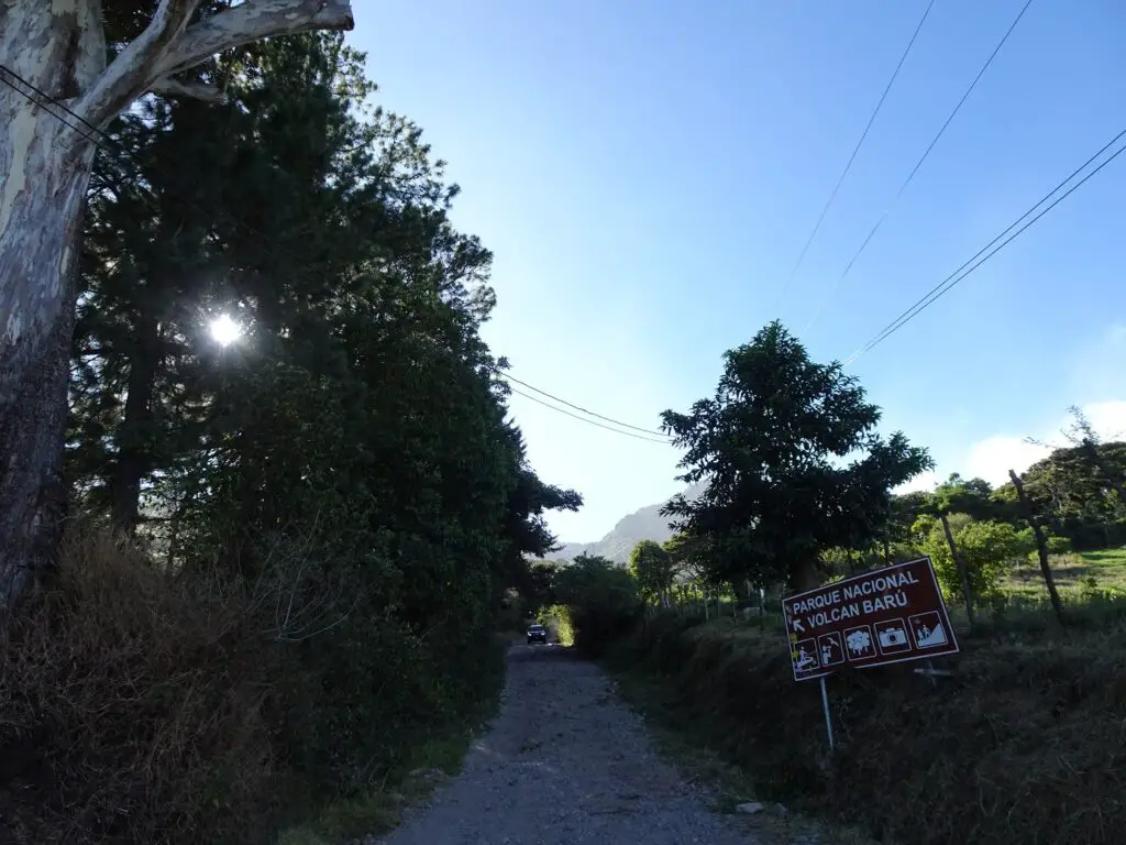
To get to the trailhead, you can take a collectivo (minibus) to El Salto/Volcancito from Calle 1a Sur one block to the north of Boquete’s main plaza. Just tell them that you want to go to Volcán Barú, and they’ll drop you at the highway, from where it’s a 1km walk west to the ranger station.
If you’re lucky, someone working at the station will be on the bus, and they’ll drive all the way to the edge of the National Park, which happened to me. When I did the hike, the first bus left at 7am (which is the one I took), but I suggest you drop by there the day before and make some inquiries. The trip shouldn’t cost more than 2$ each way.
On the way back, you’ll have to walk back to the highway and flag down a bus back to Boquete. Apparently, the buses run roughly until sunset, so if you think you might need a long time for your hike, getting the phone number of a taxi driver might not be the worst idea, so you won’t have to walk back to Boquete after dark.
A Description of the Hike
After registering at the ranger station, you’ll enter the protected area of the Volcán Barú National Park. Right away, the path started climbing, and I got a good indication what the majority of the hike up will be like.
A series of switchbacks leads up the flank of the Volcano and occasionally, some nice views to the south and east open up. Unfortunately, some of them are obstructed by a series of ziplines belonging to the Finca El Oasis that you will pass after about half an hour or so.
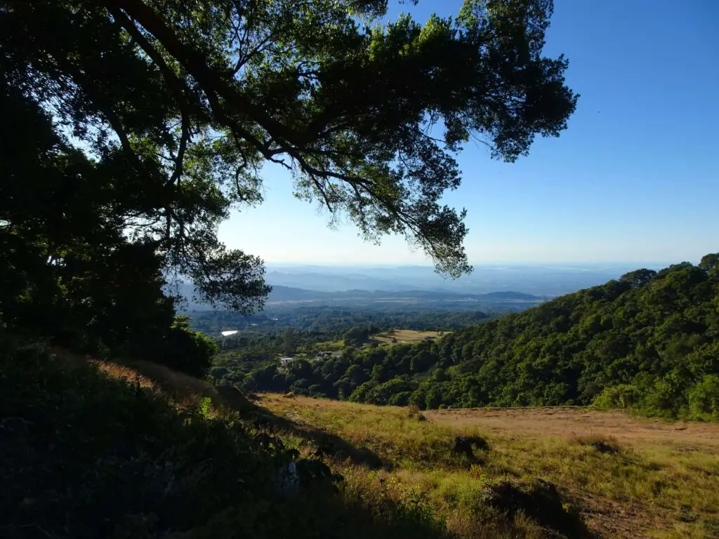
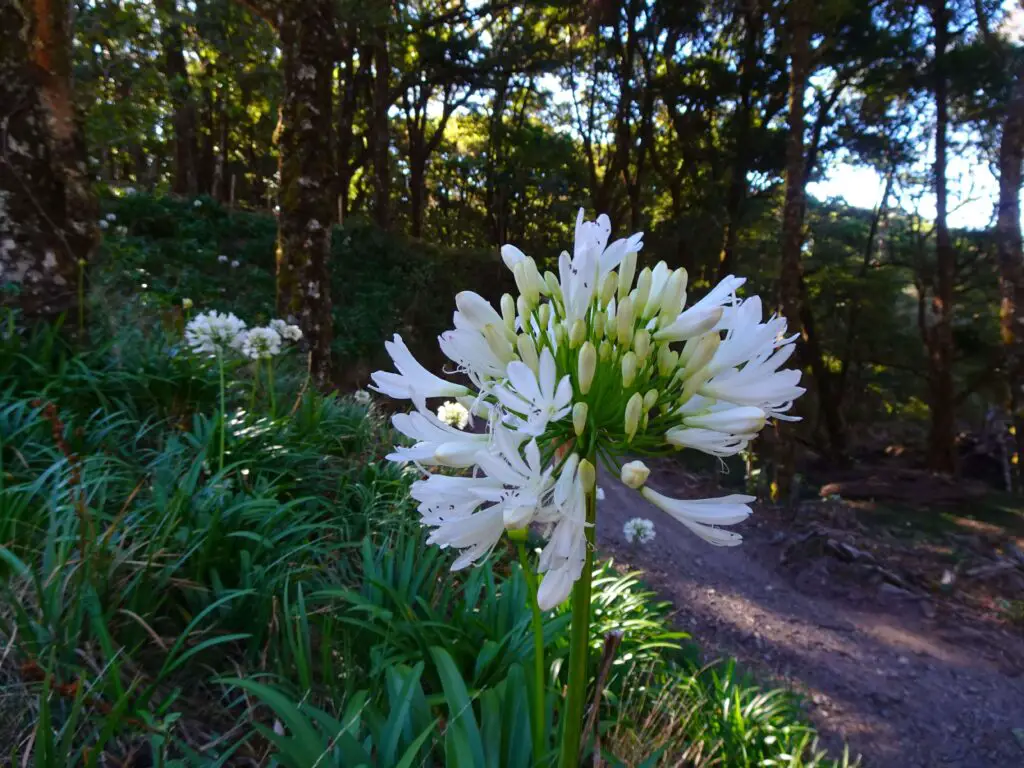
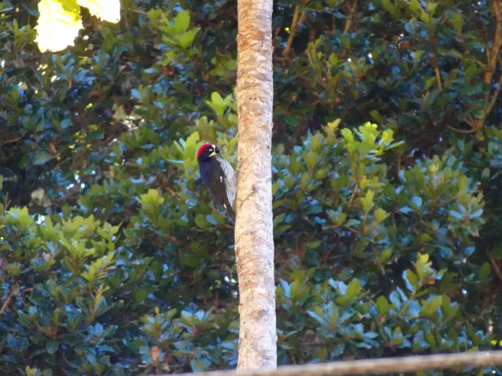
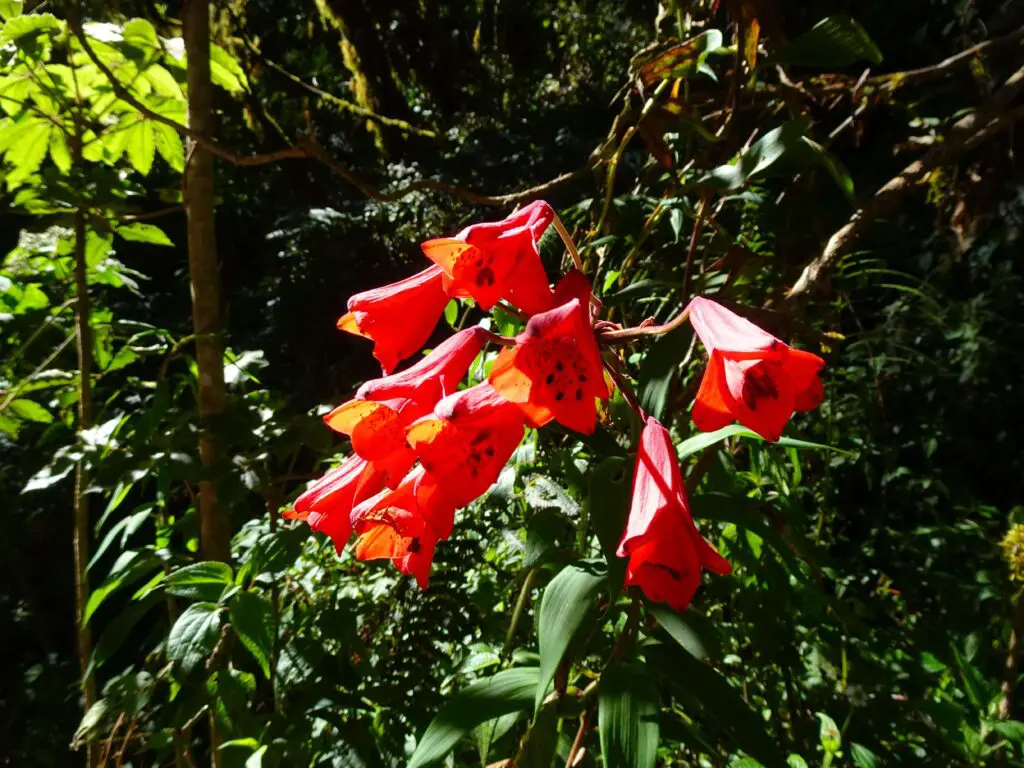
The majority of the hike leads through some pretty stretches of mountain forest, where you should keep your eyes peeled for birds. I spotted a few, and as I’m no bird expert to say the least, Google Lens helped me to identify some of them as Large-footed Finchs, Slaty Flowerpiercers, Black-billed Nightingale-Thrushs and Acorn Woodpeckers.
A less pleasant part of the hike were the 4×4 jeeps going to the summit or returning that regularly passed me at the most inconvenient places along the way. As the path is at times rather narrow, I always had to press myself into some awkward spot near the underbrush, while coughing in the clouds of dust they left behind 😂.
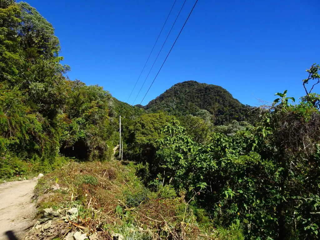
However, after about 9am the jeeps stopped coming, and I only met a handful of other hikers after that on the trail. After about two thirds of the way, the trail flattened out for a bit, and I was happy to be able to gather my strength for the final push to the top.
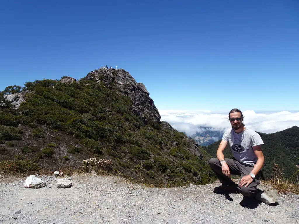
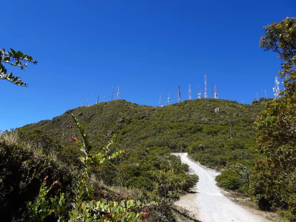
The first close view of the summit isn’t super attractive, due to the amount of antennas on the plateau. However, the actual summit a little further north is much nicer, as are the fantastic views all around.
The final metres to the top (as per usual, marked with a tall cross) require some scrambling across rocks and a bit of a head for heights, although it’s very doable if you take it slow.
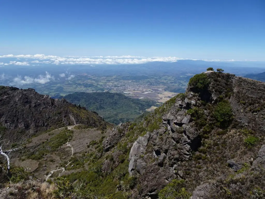
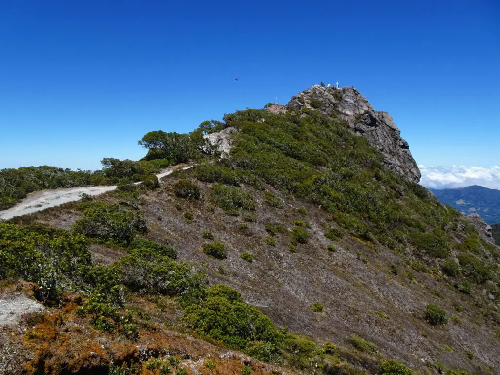
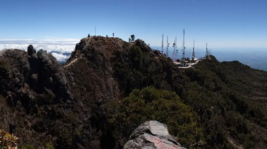
Technically, it’s possible to spot both the Pacific and Atlantic Oceans from the top. However, the Caribbean side is apparently shrouded in clouds most of the time.
As a matter of fact, after my hike, I met a guy working for the Smithsonian Institute who gave me a lift back to town and told me that he camped on the summit for over a week while tracking jaguarundis. According to him, he didn’t manage to see the Caribbean coast a single time during that time.
When I was there, the situation wasn’t much different – but at one point the cloud cover opened up enough to permit me the view of a tiny square of blue, so I’m counting it as seeing both Oceans at once:) Because of that, I think it’s worth sticking around for a bit, even if you can’t spot the Caribbean right away.
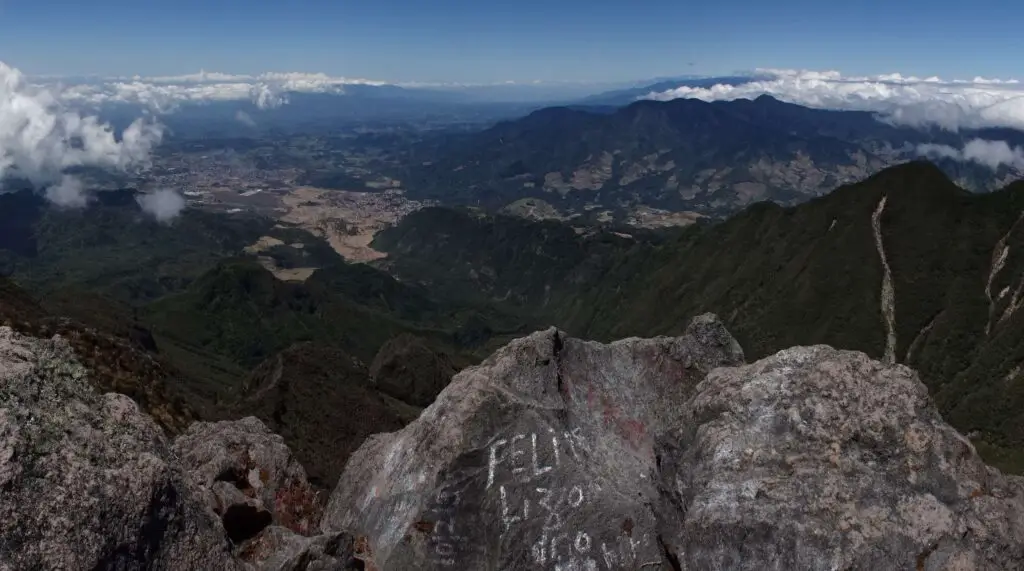
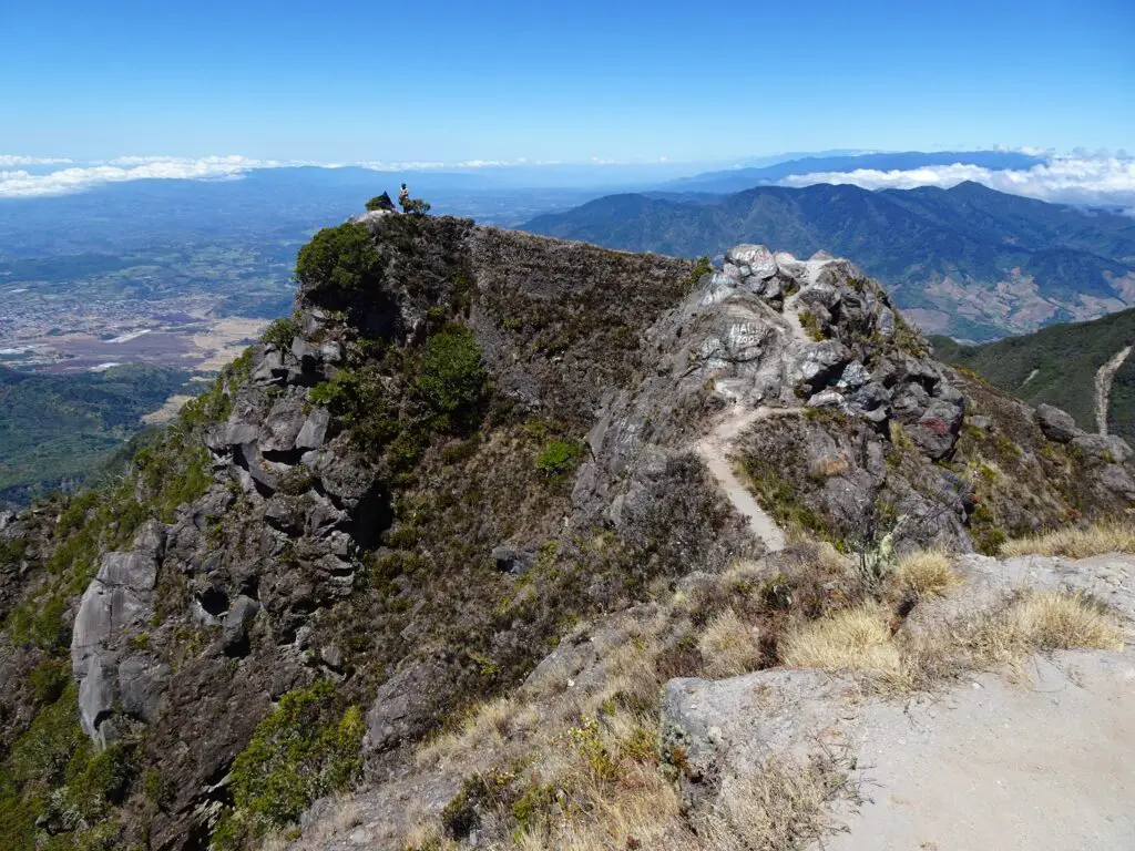
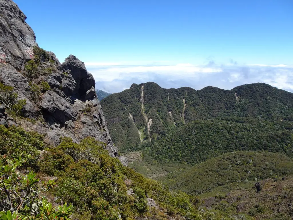
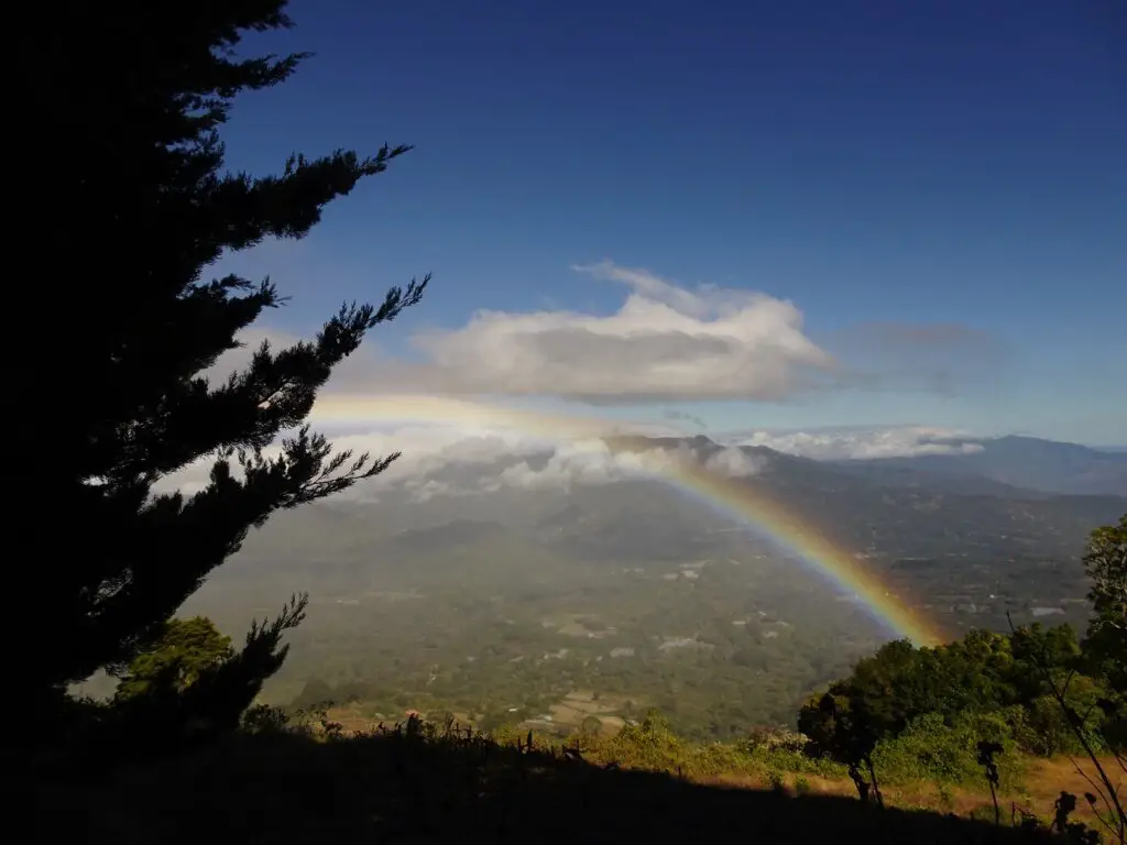
It’s also worth following the trail west from the top along the narrow ridge for some great panoramas of the Vólcan valley and the mountains across the border in Costa Rica. That’s by far the best view from the top, in my opinion. Once you’re done taking in the views, turn around and return the way you came.
Volcán Barú Trail Map
This map of the National Park show the route of the hike I described above.
