The Sendero Pipa de Agua or Pipeline Trail is one of the easiest hikes we did during our backpacking trip through Panama, making it a good introduction to the Panamanian highlands, before attempting one of the more demanding hikes.
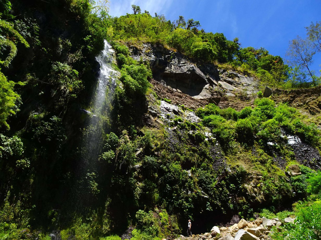
Sometimes also known as the Hidden Waterfall Trail (Cascada Escondida), the Pipeline trail leads through a section of lush cloud forest before ending in a thin, but tall waterfall just inside the confines of Volcán Barú National Park.
While it’s said to be one of the most popular hikes around Boquete, we only met a handful of other hikers on the trail – far fewer than at the nearby Lost Waterfalls Trail. Read on for everything you need to know about the Sendero Pipa de Agua.
This post may contain affiliate links, and I might earn a small commission at no additional cost to you. For more info, click here.
Guided Tours of the Pipeline Trail
We did the hike on our own, but if you’re specifically interested in birding or just like to have a local guide with you, there are well-rated guided hikes along the Pipeline Trail available.
A Description of the Hike
The trail starts about a hundred meters west from the Boquete-Bajo Mono road at the concrete bridge over the little stream (check the practicalities section on how to get to the trailhead). You’ll have to register with the caretakers in the little finca to the left and pay the entrance fee of 5$ before starting your hike.

.
Top 3 Places to Stay in Boquete
Budget Option: Boho by Arte Hostal Boquete
Midrange: Boquete Garden Inn (pictured)
Luxury Choice: Valle Escondido Wellness Resort
.
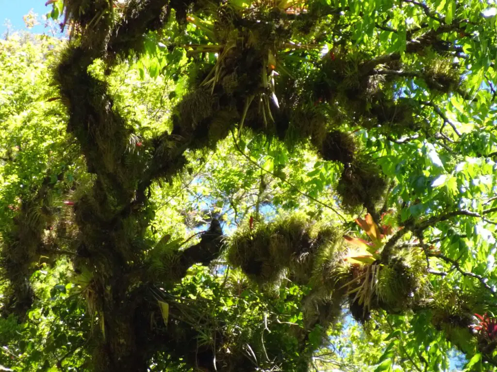
For the most part, the trail follows the namesake water pipeline, which is completely overgrown with moss and often hidden among the dense vegetation, so it doesn’t clash too much with the beautiful surrounding forest.
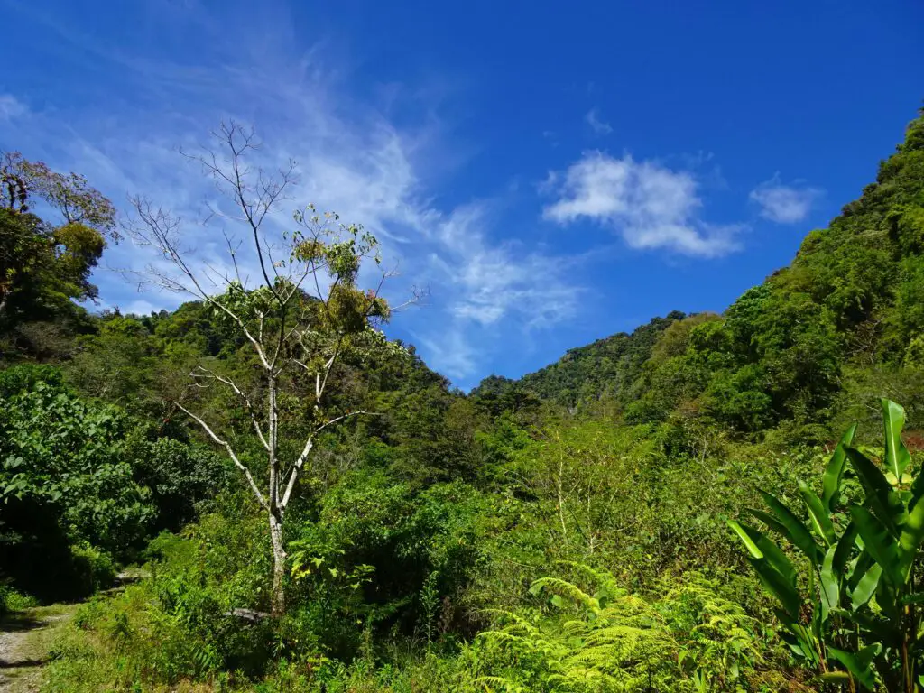
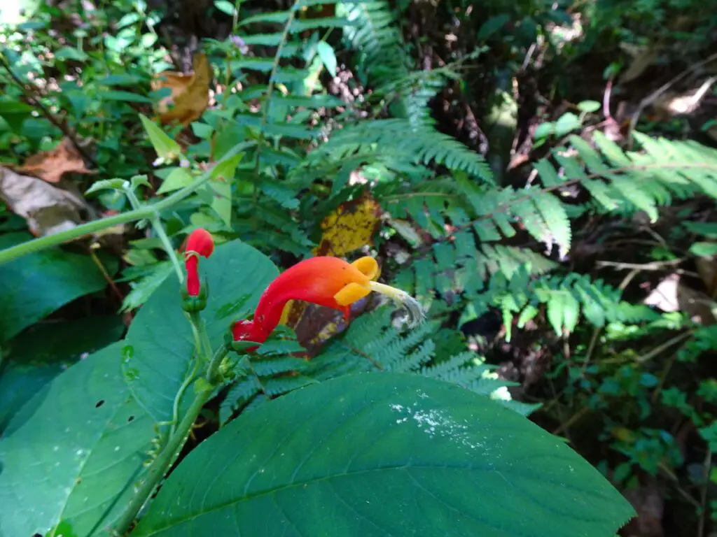
After a couple of hundred meters of open grassland, the trail enters the cloud forest of Volcán Barú National Park and right away we were surrounded by lush vegetation and twittering birds. The trail is a favourite among birdwatchers, especially as it’s supposedly easy to spot Resplendent Quetzals here.
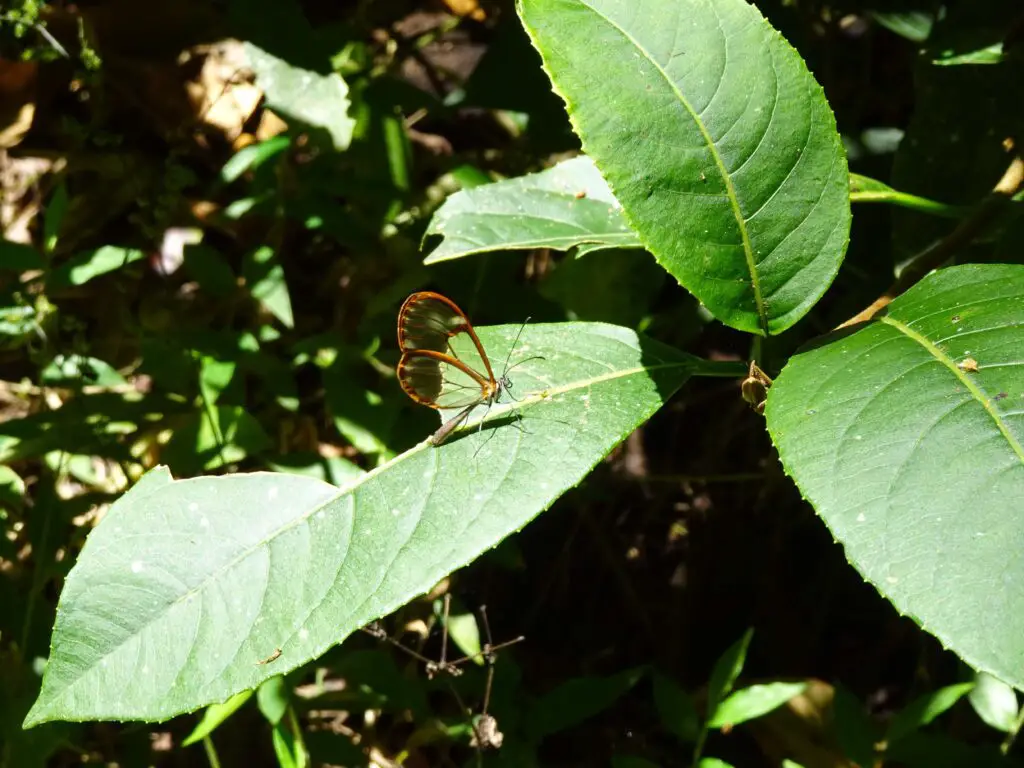
Stefanie and I didn’t see any Quetzals here (we were lucky at nearby Finca Lérida, though), but we spotted lots of other birds, some of which a short online search revealed to be Cherrie’s Tanagers, Slate-throated Whitestarts and Yellow-Faced Grassquits.
We also heard the distinct metallic calls of many Three-wattled Bellbirds along the trail, although they hid themselves well from us (their call also carries huge distances, so they might have been quite far away).
Apart from that, we were constantly surrounded by colourful moths and butterflies on the trail, including many translucent Glasswing Butterflies.
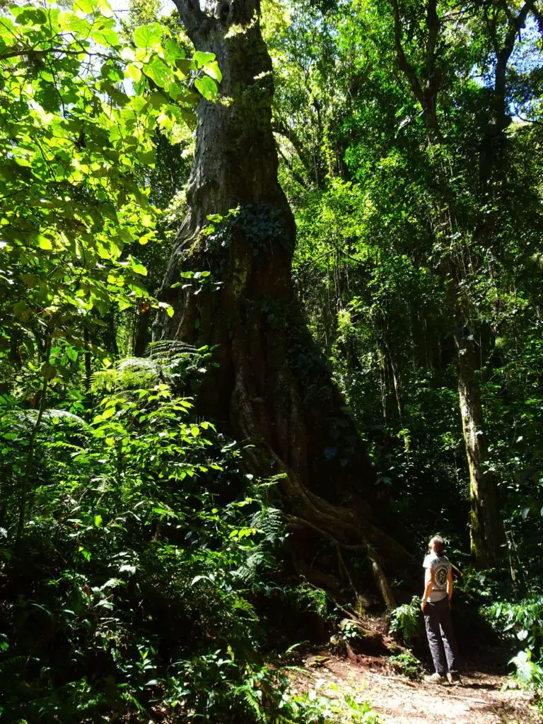
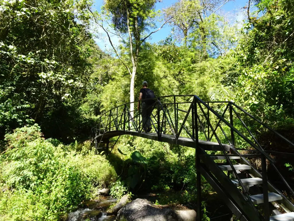
Along the way, we had to cross several footbridges over a small brook and the trail climbs very gently, but it’s hardly noticeable, to be honest. At one point, you’ll have to cross a small stream by walking on top of two pipes, but there’s a handrail to help you navigate that section.
Shortly before the end of the trail, there’s a massive 1,000-year-old Mexican Elm tree in a clearing south of the trail. Make sure to check it out, either now or on the way back.
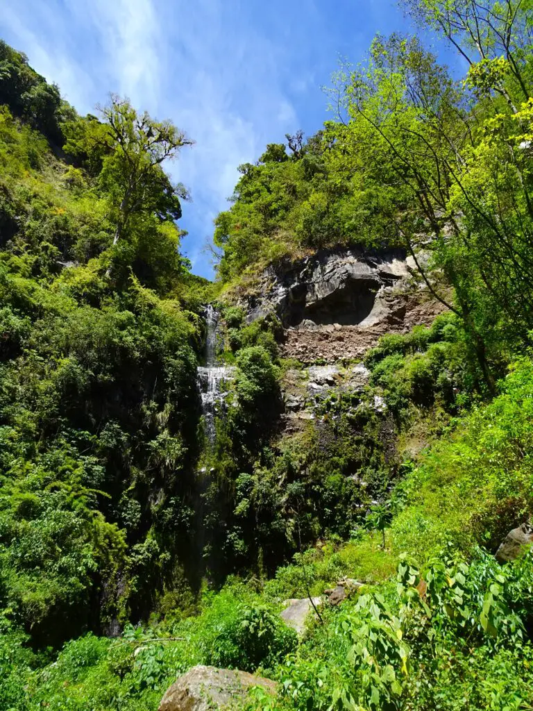
The trail eventually ends at a sheer cliff, from which the hidden waterfall that gives the trail its alternative name tumbles down. We were there in the dry season, so it was rather thin, but it’s still quite tall and gets more impressive the closer you get.
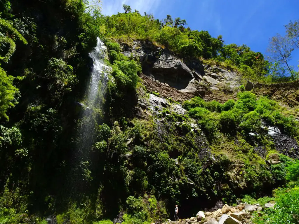
On the way to the foot of the waterfall, you’ll have to cross the small stream again and then scramble up some rocks. This is the only section of the trail that isn’t super easy to navigate, so make sure to take your time.
Once you’ve spent some time in the beautiful surroundings, you’ll have to turn around and return the same way you came.
Pipeline Trail Map
This map of the Pipeline Trail shows the route of the hike I described above.
Practicalities
How to Get to the Trailhead
The trail is located in the Bajo Mono Region, north of Boquete. To get there, just catch a Bajo-Mono-bound collectivo from the corner of Avenida Central and Calle 1 Sur, one block north Boquete’s Parque José Domingo Médica, and they’ll drop you at the trailhead.

.
Top 3 Places to Stay in Boquete
Budget Option: Boho by Arte Hostal Boquete
Midrange: Boquete Garden Inn (pictured)
Luxury Choice: Valle Escondido Wellness Resort
.
How Long is the Pipeline Trail?
The trail is a little under 3km or 2mi. one-way and 6km or 4mi. in total.
How Long Does it Take to Hike the Trail?
With some time spent at the waterfall at the end, the entire hike took us about 2.5 hours.
How Hard is the Trail?
It’s an easy to moderate hike with a slight, gradual elevation gain along a well-marked and well-maintained trail. At one point, you’ll have to cross a small stream on top of two water pipes and the final part requires some scrambling along rocks, but it should be no problem if you are reasonably fit and take it slow.
How Much Is the Entrance Fee?
We paid 5$ per Person, when we registered at the little finca at the trailhead.
Do You Need a Guide?
The trail can easily be done alone, as it’s well-managed and easy to navigate. The only reason you might want a guide is if you’re planning to spot some of the more rare birds along the way or want to learn a little bit more about the nature along the trail in general.
Facilities Along the Trail
There’s a toilet at the trail keeper’s compound at the start of the trail, but no places to buy food or water, so make sure to bring all the water and snacks you’ll need.
Other Hikes in the Area
A little further along the Bajo Mono Road is the tougher, but more impressive Lost Waterfalls Trail. You can easily combine both trails – we did the Pipeline Trail first, then walked along the road to the Lost Waterfalls trail and finally returned to Boquete by Collectivo.
Another spectacular hike in the area is the climb to the top of Volcán Barú.
See Also
The Ultimate Guide to Volcán Barú – Panama’s Highest Mountain
