While I was slowly making my way to this year’s Rebellion Fest in Blackpool, I decided to stop in the small town of Chorley for a couple of days to do some hiking. I made my base there for two reasons: I like places that are off the tourist trail (Chorley definitely ticks that box), plus the town seemed like the perfect base to explore the West Pennine Moors.
After some research, I decided to do the Chorley Three Peaks Hike, which seems to be one of the more popular walks in this area.
By traversing the summits of Great Hill, Winter Hill and Rivington Pike, you get to know some of the more spectacular parts of the area and also have a chance to check out the pretty Rivington Terraced Gardens on the way. Read on for everything you need to know about the Chorley Three Peaks Hike.
This post may contain affiliate links, and I might earn a small commission at no additional cost to you. For more info, click here.
How long is the Chorley Three Peaks Hike?
If you start in Chorley, the hike is a little over 25km or 15mi. long, with a height gain of about 700m or 2300ft.
How much time does the Chorley Three Peaks Hike take?
I suggest setting aside a full day for the hike. With some stops and detours along the way (and some careful navigation to avoid the bigger puddles of water and mud before I simply stopped caring;), it took me about 7 hours.
If the weather is fair, you don’t dawdle along the way and skip the Terraced Gardens in Rivington, you might be able to do it in 5 or 6 hours.
What’s the Terrain Like?
Now, that’s a tough one, as it depends a lot on the current weather conditions. It had been raining a lot before I set off and many of the trails were super muddy and/or had turned into little rivulets, which made it quite tough to get on.
I imagine that in dry conditions it might be a lot easier. Apart from the scramble up Winter Hill, most parts of the trail aren’t very steep and should pose no challenge for any reasonable fit person.
What to Bring for the Chorley Three Peaks Hike
Definitely bring some sturdy hiking shoes and expect them to get wet. It had been raining a lot in the days before I did the hike, and some of the paths had seriously turned into little streams. At points, stepping into the water was simply unavoidable.
The weather in Northern England can change pretty quickly, too – so even if it’s sunny when you set off, definitely bring a rain jacket and maybe even a sweater, as it can get pretty chilly on the ridges.
Finally, take enough water and snacks to last you for the day – apart from a small café in Rivington, I didn’t come across any places to stock up during the hike.
Chorley Three Peaks Hike – A Description of the Trail
Chorley to Great Hill
I was staying at the Plaza Hotel and set off from the southern end of town, but if you start from the centre or train station just walk east until you meet the pretty Leeds and Liverpool Canal, that you can follow north along its western shore.
You’ll have to cross the canal at Bagganley Lane and walk east along a small brook until you reach Heapey Chase Estate, a weird cluster of streets and houses that feels more like an American Suburb than anything you’d expect in the UK. When I was here, it was completely deserted, which added to the strange atmosphere.
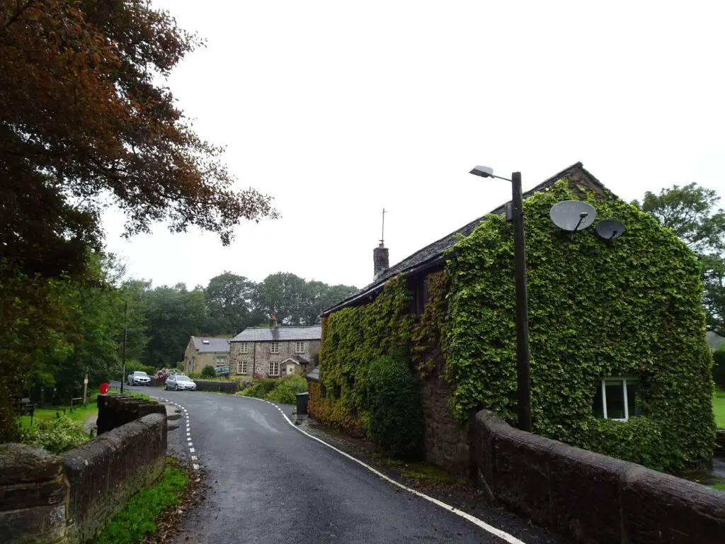
After crossing the estate, you’ll have to turn east and walk along the southern shore of some pretty ponds towards the tiny village of White Coppice. Continue east along the road until you reach a gate that marks the entrance to the West Pennine Moors.
This is where the path starts climbing, although the ascent is actually quite gentle. Following the trail east in the direction of Great Hill, you’ll come across the ruins of some drystone buildings. If you stop once in a while to look back, you can enjoy nice views towards Chorley.

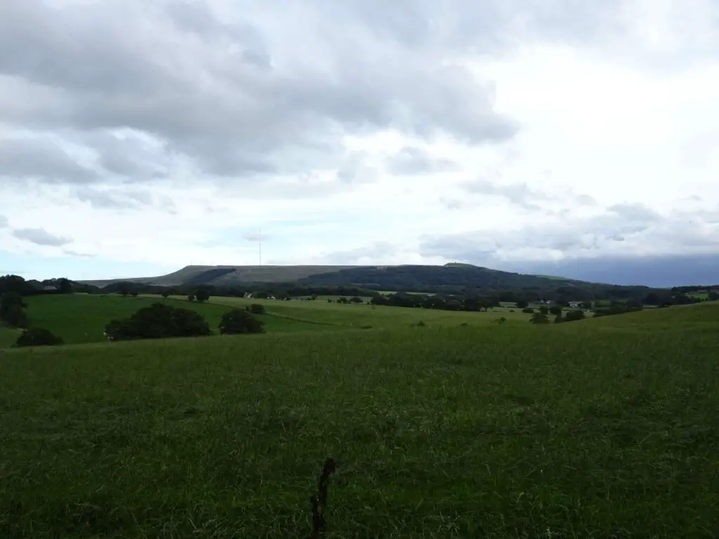
Approximately 45 Minutes after starting your ascent, the trail reaches Great Hill, the first of the three titular peaks. Views to the West and North are supposedly pretty great from here, but a giant cloud front had moved in when I was here, and I had to wait a little longer until I could enjoy sweeping vistas of the area.
Great Hill to Winter Hill
The next section of the hike follows a stone causeway through the Moorland, which should keep your feet dry for the most part. You’ll come across some more dry-stone ruins to your left. When I did the hike, the area was completely shrouded in mist for the first half hour or so, which gave it quite an eerie, atmospheric feel, but after a few kilometers, some great views to the north and south started opening up.

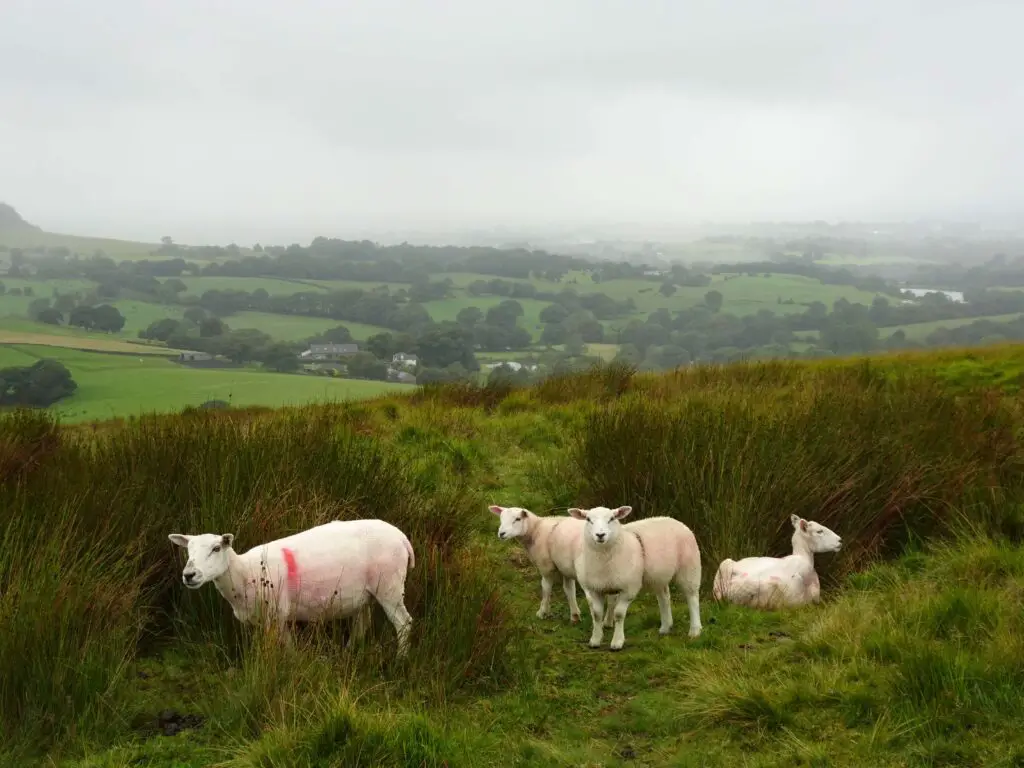
While reading up on the hike, I came across an interesting bit of history: Apparently, there have been multiple reports of UFO-sightings on the moors between Great Hill and Winter Hill since the 1950s. However, I didn’t encounter any extraterrestrials (unless they dressed up as sheep, that is).
After crossing the road, the toughest part of the hike begins, as you’re ascending Winter Hill from the North, which seems to be the steepest side. In dry weather, it’s probably alright. For me, the trail was completely drowned in mud and water and I had to walk over the slippery rocks of the old foundations of a nearby drystone wall. Not ideal, to say the least.
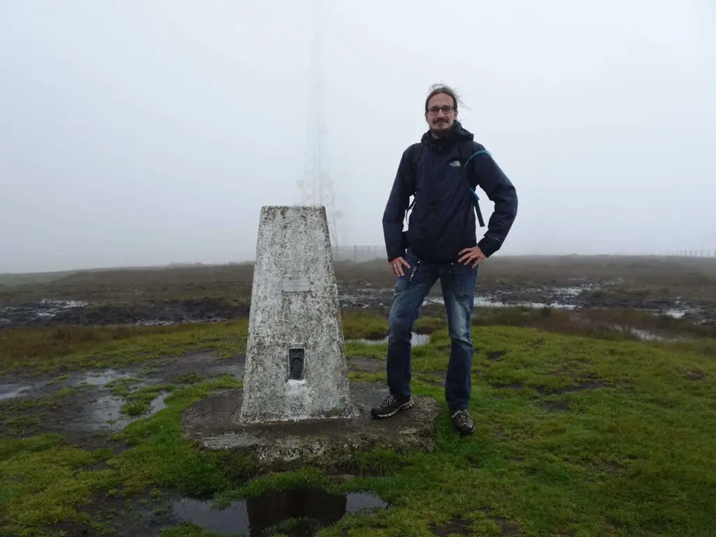
The final part is a bit of a scramble, but you’ll be rewarded with stepping foot on Winter Hill, the highest point in the Western Pennine Moors. The top isn’t super attractive, strewn with antennas and phone masts as it is, but the views to the North, West and South are well worth the effort.
If there’s no view, I suggest waiting for a few minutes, as the situation can change very quickly. When I arrived at the top it was foggy, but 5 Minutes later the clouds opened up and revealed great views all around.
Winter Hill to Rivington Pike
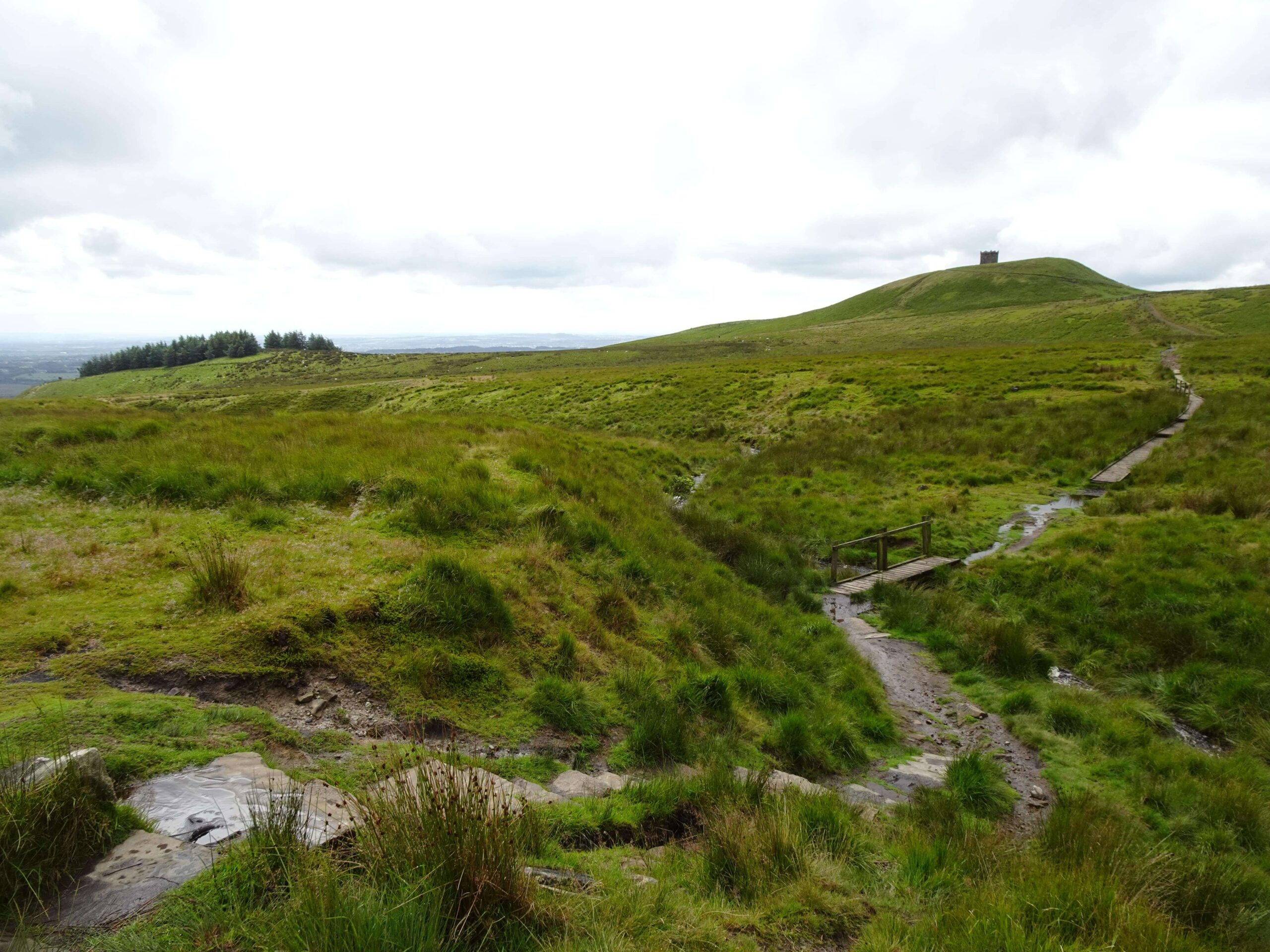
Looking south-west from the summit, you’ll spot a stone tower in the distance. The tower stands atop Rivington Pike, which is your next destination.

Due to the bad weather of the previous days, this part of the hike was extremely wet, and I had to alternate between the muddy path, and the wet boggy grassland on either side. I think this is when I finally said goodbye to my dry feet. When conditions are better, the path will likely be alright, just prepare yourself in case it isn’t;)
After crossing a picturesque little bridge, you’ll start the short ascent to Rivington Pike. The stone tower at the top was erected by John Andrews of nearby Rivington Hall in the 1730s and in my opinion makes the third of the peaks more attractive than the first two.
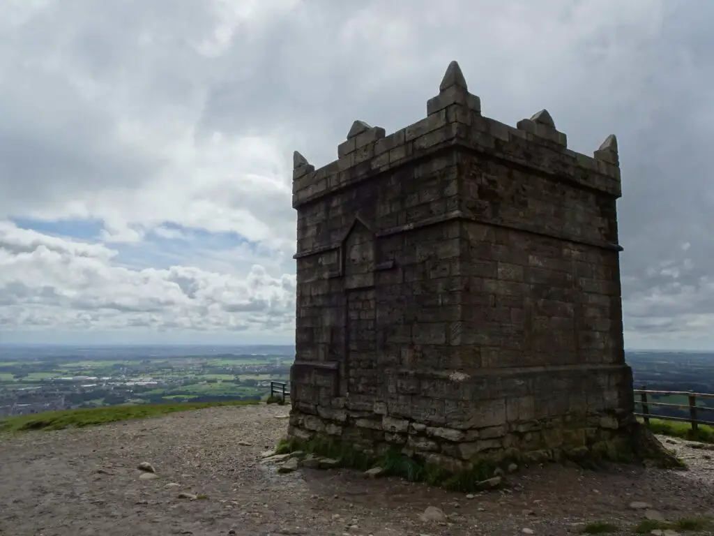
The views to the West are quite stunning and can reach as far as the Irish Sea. As the weather had significantly improved by then, I managed to even spot Blackpool tower in the distance during my hike.
Rivington Pike to Chorley
Rivington is home to a pretty terraced garden dating to the early 20th century. As the most strenuous part of the hike will be over by now, you might as well take some time to explore them.
Highlights include the slender, elegant Pigeon Tower at the north-western corner of the gardens, as well as the Japanese Pond, which didn’t really remind me of any Japanese Garden I had visited, although I found it quite attractive nonetheless.

Once you’re done exploring, you can exit the gardens to the north-west, pass the pretty Rivington Hall and continue West towards Rivington Village. There are a few interesting historic buildings here, including an attractive 16th-century church and if you need a refuel, there’s also a small café (behind said church).
Afterwards, continue north between Upper Rivington and Yarrow Reservoir, before turning West and walking across a big dam with nice views of Angelzarke Reservoir to the north. Turn north, sticking close to the Reservoir, before walking west along Water Street (aptly named when I was there…).

The rest of the hike roughly continues in a north-westerly direction, crossing the M61 and eventually the Leeds-and-Liverpool Canal. Just follow it to the north until you reach the point where you started your hike in the morning.
Chorley Three Peaks Hike Map
Check out the map below if you’d like to follow the route I took and described above.
