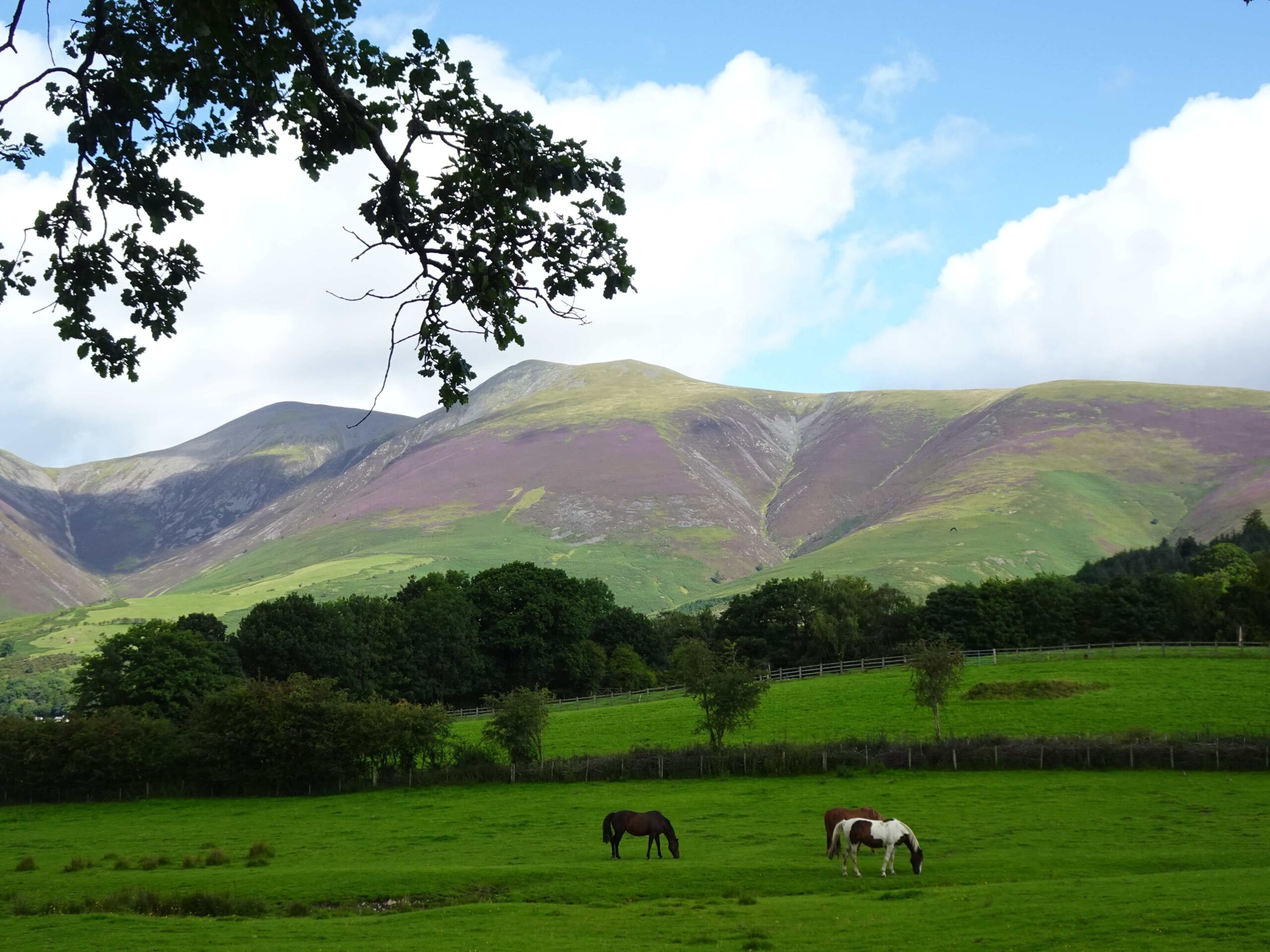
Towering over pretty Keswick, Skiddaw Mountain is one of the more famous peaks in the northern Lake District. Stefanie and I skipped the hike during our last visit to the area, but this time around we couldn’t resist and climbed the classic route from the south.
We certainly didn’t regret our decision: The hike led through some beautiful landscapes, and the views from the summit were absolutely amazing. In my opinion, this is one of the must-do hikes in the northern Lake District. Read on for everything you need to know about climbing Skiddaw.
This post may contain affiliate links, and I might earn a small commission at no additional cost to you. For more info, click here.
How Long Does it Take to Hike Skiddaw?
Obviously, this depends on your level of fitness and the route you’re taking. It took us about 3 hours to reach the summit from Keswick along the main path. If you’re returning by the same route, plan about 5 to 6 hours.
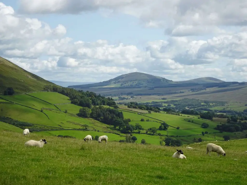
We chose a steep (but worthwhile) alternative route for the descent, which was slow going at first and ended in Millbeck, a couple of miles from Keswick, so the entire hike took us about 7 hours.
When to Do the Skiddaw Hike?
I suggest you start your hike early in the morning, so you’ll have plenty of time to complete the journey, especially if you’re going to take the more complicated descent via Carl Side. This is one of the more popular hikes in the Lake District, so starting early will also help you avoid the crowds.
The Best Hotels near Skiddaw
Keswick has plenty of accommodation options for different travel styles. If you’re on a budget, YHA Keswick Hostel offers affordable dorms, making it a great pick for hikers with basic amenities and proximity to the trailhead for Skiddaw.
If you’re looking for a mid-range private room, check out historic George Hotel, while The Inn on the Square in Keswick’s Market Square is more of an upscale option.
Finally, if you’re looking to get away from it all, try Skiddaw House Hostel, which sits completely isolated on the fells due east of Skiddaw and can only be reached by foot. It’s the highest hostel in England and certainly has one of the most unique locations.
Description of the Hike to Skiddaw
Keswick to Latrigg
The classic route up Skiddaw starts in Keswick, which sits at the northern edge of Derwentwater Lake. From the town centre, you’ll have to walk north, crossing the River Greta and follow Station Road, Brundholme Road and finally Briar Rigg out of town.

You’ll leave the asphalt roads behind you at Spoonygreen Lane, which you’ll have to follow to the north through the pastures. After crossing the A66, you’ll enter Whinny Brow Woods, where the ascent starts. Still, this initial part of the hike is relatively gentle and offers beautiful views to the West.
Several times during this portion of the hike, you have the chance to turn right to climb the summit to Latrigg (368m or 1,210ft.). I suggest you take the short detour, as the views of Keswick and Derwentwater are amazing and well worth the small additional effort in my opinion.
Latrigg to Skiddaw Summit
To resume the hike, cross Latrigg to the north-east, where you’ll have to pass through two farm gates before continuing north through the sheep pastures. This is where the steep ascent to the top of Skiddaw begins and frankly, it’s a bit of a slog.
I suggest you stop once in a while to catch your breath and admire the views along the Greta Valley to the east and towards Derwentwater and the fells surrounding Grisedale Pike to the south-west.
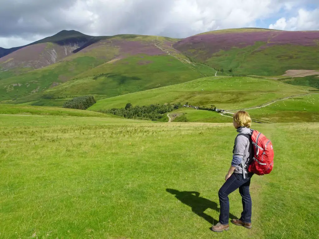
While hiking up, don’t be fooled into thinking the mountain you’re constantly walking towards is Skiddaw: It’s actually Skiddaw Little Man, a 865m or 2,838 ft. tall subsidiary summit. You can either ignore it and press on down the main trail, or take another short detour to enjoy the views.
As you’re here already, I suggest climbing Little Man, especially as the views to the south are much better than from the summit of Skiddaw itself. Continue north, first descending Little Man and then climbing up the final stretch to the top of Skiddaw.
Once you made it to the top (931m or 3,054ft.), you’ll be able to enjoy amazing views of the surrounding fells, lakes, and valleys. I thought the views north-west towards Bassenthwaite Lake were especially breathtaking, although the vistas across the fells to the east were pretty impressive, too.
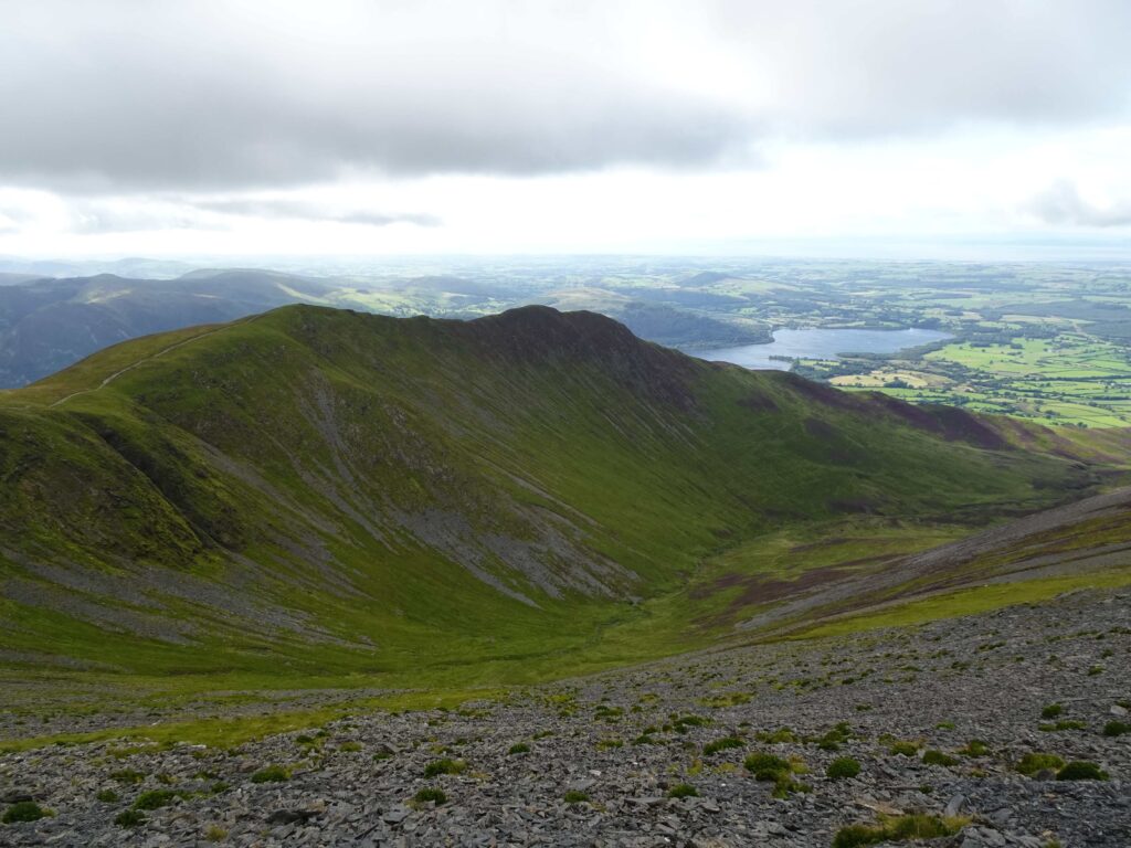
Don’t be deterred if the summit is clouded in shrouds when you reach it. The weather can change quickly here, so it always pays to hang around for a bit to see whether it improves. There was no view when we reached the summit, but 10 minutes later it cleared up and the visibility was perfect. We even spotted Scotland and the Isle of Man in the distance.
Descending via Carl Side
When you’re ready to head back, the easiest way would be to just follow your path in reverse to return to Keswick.

We decided on the alternative route via the small peak of Carl Side. The route had absolutely wonderful views towards Keswick and Derwentwater, but especially the first section was super steep with lots of loose rocks, so you have to be very careful not to slip.
If you decide on this route, you’ll have to turn right onto the small path about 300m south of Skiddaw summit. Carefully navigate your way down the steep slope until you reach the tiny Carlside Tarn. We found this to be a good place to take a break and relax those strained limbs.
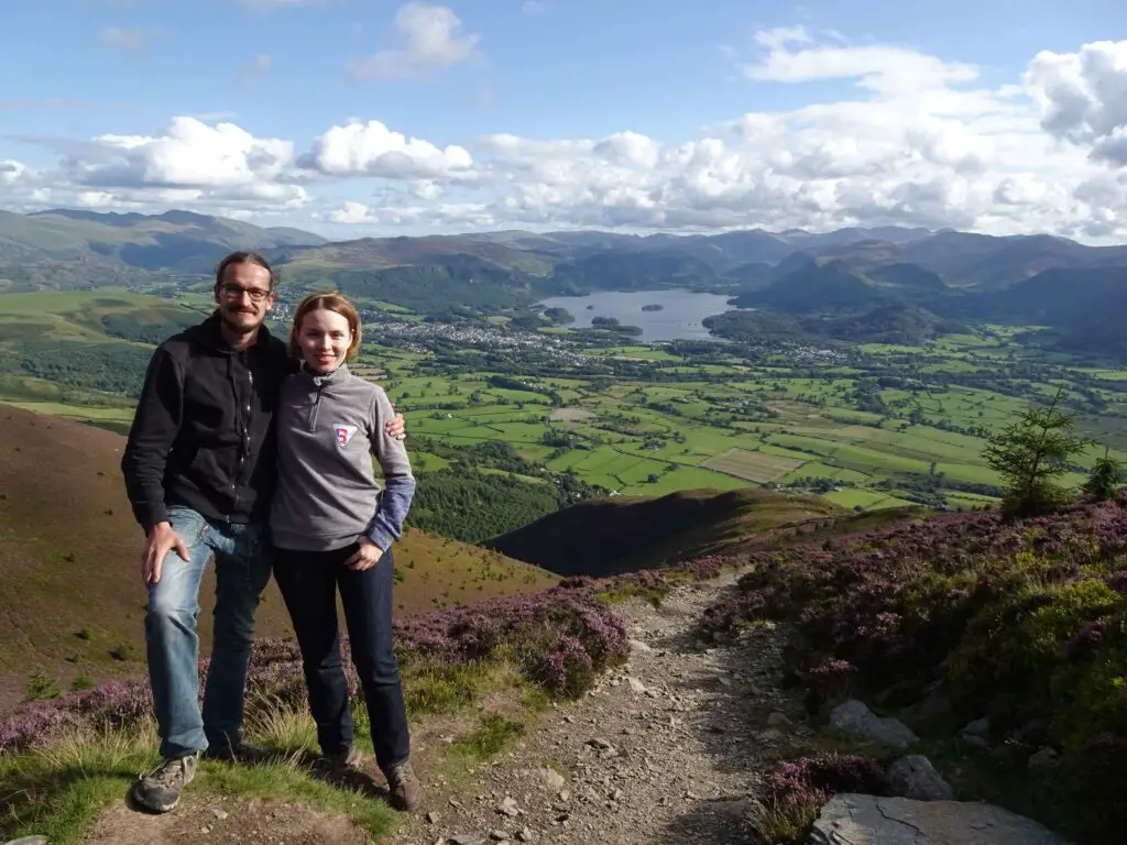
The next section is the most picturesque, with amazing views to the south, as you make your way through the purple heather down the southern flank of Carl Side. Once you reach the White Stones rock formation, you’ve almost made it. Continue down until you reach the tiny hamlet of Millbeck.
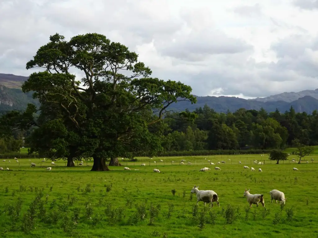
The rest of the way back to Keswick is very flat. Follow the road east towards picturesque Applethwaite, then turn south and follow Stoneacre Lane across the sheep pastures. You’ll cross a few roads, and ultimately you’ll end up at Keswick School at the north-eastern end of town. From there it’s a 15-minute walk south-east to the market square.
Skiddaw Hike Map
Check out the map below to follow our route for the Skiddaw Hike.
See also
Hiking in England’s Lake District: Climbing Catbells Mountain from Hawes End
