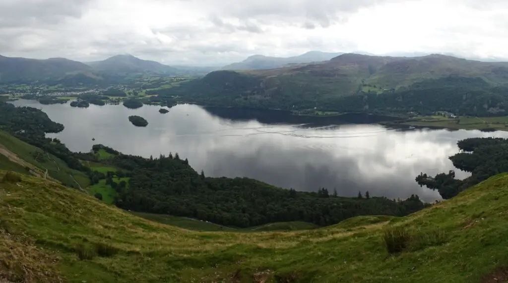
Catbells is one of the most popular hikes around Keswick, due to the fact that the mountain is relatively easy to climb, but still has amazing views, which are much better than from some of the much higher fells in the area.
Apart from that, the climb to the top is rather short and straightforward, so you could combine it with a day of sightseeing in nearby Keswick or use it as a starting point for a longer exploration of the fells surrounding the Newlands Valley.

In my opinion, of all the shorter hikes in the Northern Lake District, the view from the top of Catbells is only rivalled by Walla Crag on the other side of Derwentwater – both offer beautiful, sweeping vistas of the Lake, Keswick and the Skiddaw Massif to the north.
Read on for everything you need to know about climbing Catbells.
This post may contain affiliate links, and I might earn a small commission at no additional cost to you. For more info, click here.
How Long Does it Take to Climb Catbells?
All in all, It took us about 1,5 hours to climb to the top, enjoy the views and return via the route through Brandelhow.
When to Do the Catbells Hike?
This is one of the most popular hikes in the area, so if you prefer some peace and quiet, I suggest you start early. We started our hike around 8.30am and still encountered quite a few people, especially on the way back.

Where to Stay Near Catbells
Keswick is the best base for exploring the northern Lake District and has plenty of accommodation options for different travel styles. If you’re on a budget, YHA Keswick Hostel offers affordable dorms.
If you’re looking for a mid-range private room, check out historic George Hotel, while The Inn on the Square in Keswick’s Market Square is more of an upscale option.
Finally, if you’re looking to get an early start, you could rent a holiday home at Gutherscale Lodge, right at the foot of Catbells.
Getting to Hawes End from Keswick
To get to the trailhead, you can simply take the 77e Bus, which circles the Buttermere Valley clockwise from Keswick’s main bus terminal. You’ll have to get off at the Gutherscale Lodge Bus Stop. You can check the bus schedule on this site.
Alternatively, you can also walk to the trail head from Keswick via Portinscale in about an hour, although that requires some walking along roads. The third option is to take the Keswick Launch Cruise across Derwentwater from Keswick’s main pier to the Hawes End Pier, which is the most costly, but also the most picturesque way.
A Description of the Catbells Hike
The main trail up Catbells starts at the northern foot of the mountain near the Gutherscale Lodge Bus Stop, from where you’ll have to follow a clear, well-maintained path south off the road. Shortly after leaving the road, you’ll come to a point where the path splits.
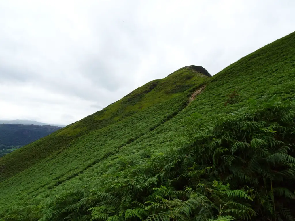
Take the steeper trail on the right, and make your way up the northern flank of the mountain to Skellgill Bank. This is a great place to take a breather and enjoy the already stunning views of northern Derwentwater and the Keswick Valley.

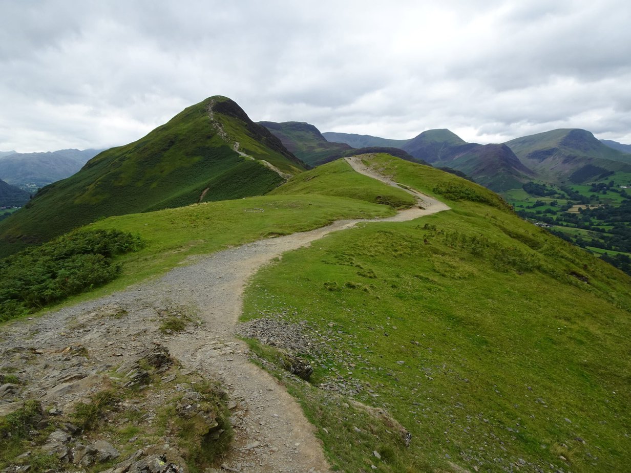
Afterwards, the trail levels out and the fields and tiny villages of the Newlands Valley come into view on your right. The final push to the summit is the part of the hike that requires most attention, as it’s a bit of a scramble up the rocks. It’s still pretty easy, just make sure to watch your step.
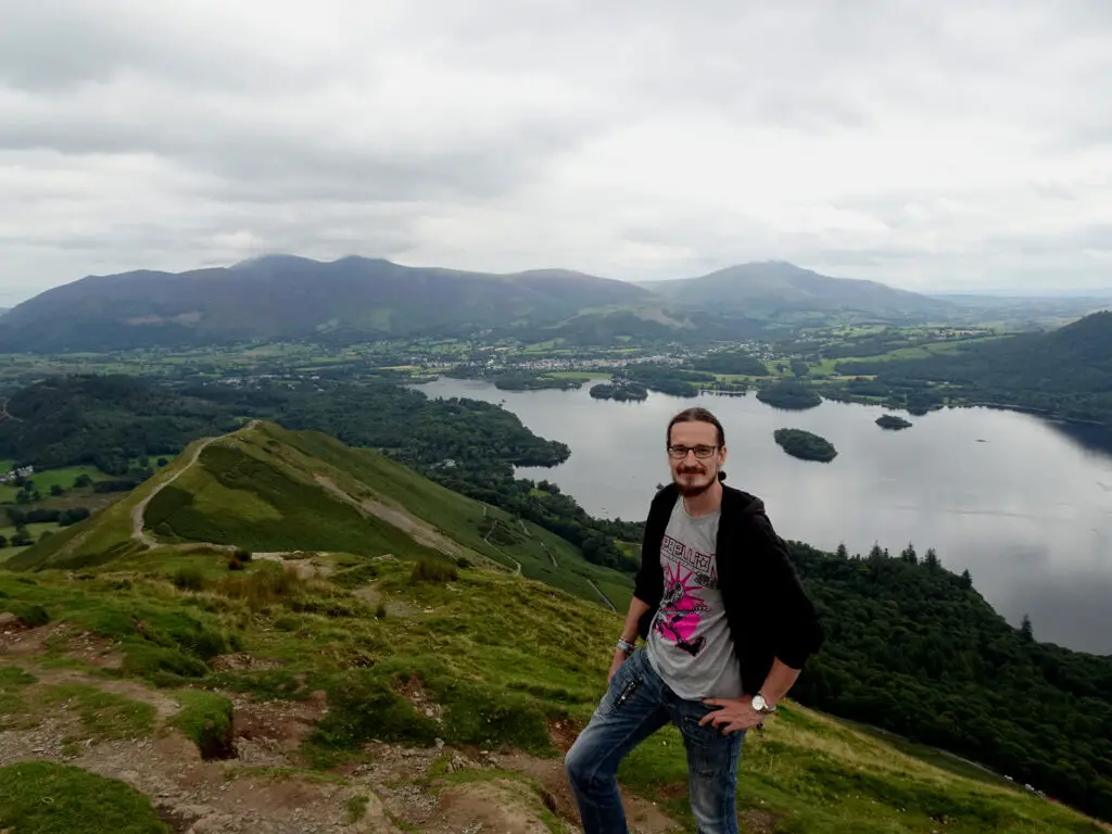
It’s true that at 451 m (1,480 ft), the summit is relatively low compared to other fells in the area, but the views are still amazing. To the east, you’ll see Derwentwater Lake and all its tiny Islands, with Walla Crag and the fells surrounding Bleaberry behind.
To the North, Keswick is dwarfed by the Skiddaw and Blencathra Massifs and towards the North-West you can spot pretty Bassenthwaite Lake in the Distance.

When you’re ready to descend, you can either retrace your steps or continue north for a little while to circle back via Brandelhow (which is what we did). Climbing down from the rocky summit again requires some attention, but pretty soon the trail becomes more level.
After about half a mile, you’ll come to a crossroads. Continuing south would lead you to the top of High Spy and eventually Dale Head Mountain, but to return, you’ll have to turn left (east) and descend via a series of rock steps.
When the trail splits, take a sharp left and walk past the hamlet of Brandelhow, which used to be the home of the writer Hugh Walpole, who is memorized by a small memorial plaque a little further down the trail.

If you’re doing the hike in the summer, you might come across something I bet you didn’t expect to find here (we sure as hell didn’t). After a bend in the trail, a small ice cream truck appeared before us like a fata morgana in the desert. We for one never had an ice cream cone on a hiking trail, so obviously we had to indulge.
The final part of the trail is an easy, level affair, leading through high bracken. Keep your eyes peeled, as we spotted some pheasants hiding in the undergrowth on this part of the hike. Eventually you’ll come to the same crossroads you encountered at the beginning of your hike, from where you’ll simply have to retrace your steps to get back to the bus stop.
Catbells Hike Map
Check out the map below to follow our route for the Catbells Hike.
See also
Hiking in England’s Lake District: Climbing the Summit of Skiddaw from Keswick

