As much as we enjoy exploring Italian cities, there usually comes a point where we need a bit of a break from visiting churches or museums. We felt that way after exploring Verona for a few days, but fortunately, it’s very easy to escape to the countryside here.
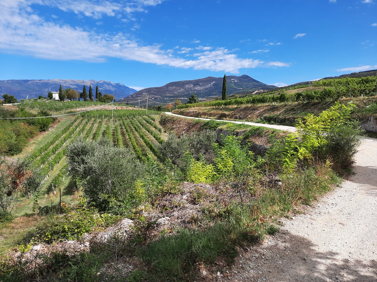
Just north of the city lies the Valpolicella region, which is a beautiful rural area of vineyards and small hill towns. We spent a day driving through the region and were kind of amazed by how quickly the landscape changes. Within a relatively short distance, we went from the broad floor of the Adige Valley to the hilly wine country and finally into the foothills of the Alps.
We’ve also included the Madonna della Corona Sanctuary in this itinerary, which is technically a bit west of the Valpolicella region proper, but which is easy to fit into the tour and much too impressive to leave out. Here’s everything you need to know about exploring this cool area.

This post may contain affiliate links, and I might earn a small commission at no additional cost to you. For more info, click here.


How to Get Around in the Valpolicella Region
For this itinerary, we’d definitely recommend renting a car. The region is quite rural, and one of the nicest things about exploring it was being able to stop whenever we came across a viewpoint, or a cute little village.
Driving also gives you the flexibility to take some of the smaller roads, which (as we expected) were so much nicer than the big highways. You can have a look below to find the best available deals on rental cars in Verona or anywhere else.
Public transport is also possible, but we’d approach it a little differently. Most of the places in this guide are served by buses, but they aren’t very frequent. Rather than trying to fit everything into one day without a car, we’d probably pick one or two places and spend more time there.
You can check current bus connections in the Verona region on the local transport website.
Guided Tours of the Valpolicella Area
If you’re based in Verona and don’t have your own transport, taking a guided tour would be the easiest option. You can have a look at some possible tours below.
A Driving Tour of the Valpolicella Region
The Southern Valpolicella Valley
The fastest way to get to your first stop would be to join the Autostrada A22 near Casone and leave it at Rivoli Veronese, afterwards following the SP8 north to Spiazzi. However, if you can spare the time, I really recommend taking some of the smaller roads in the Valpolicella Region north of the Adige instead.
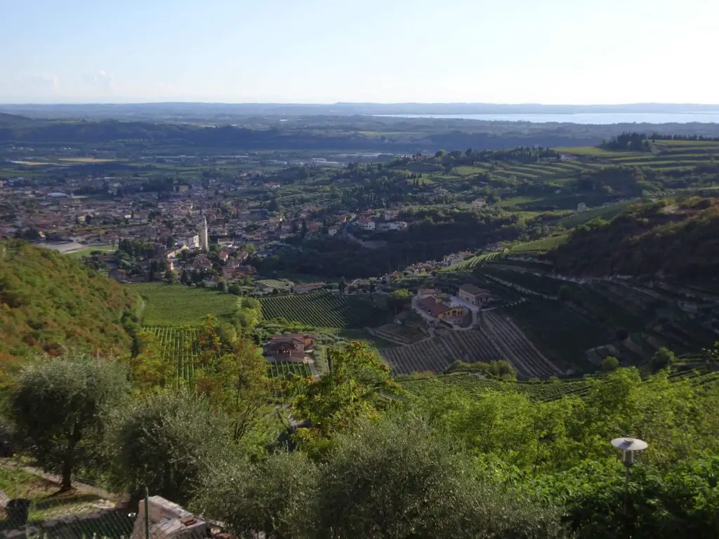
They are much nicer and we got an idea of the pretty landscape of the region right away, because quickly after leaving central Verona, the industrial suburbs gave way to cute traditional villages and countless hills full of grapevines.
We chose the route via Parona and San Pietro in Cariano to Sant’Ambrogio di Valpolicella, where we took a short detour north to the pretty hill-town of San Giorgio di Valpolicella.
San Giorgio di Valpolicella
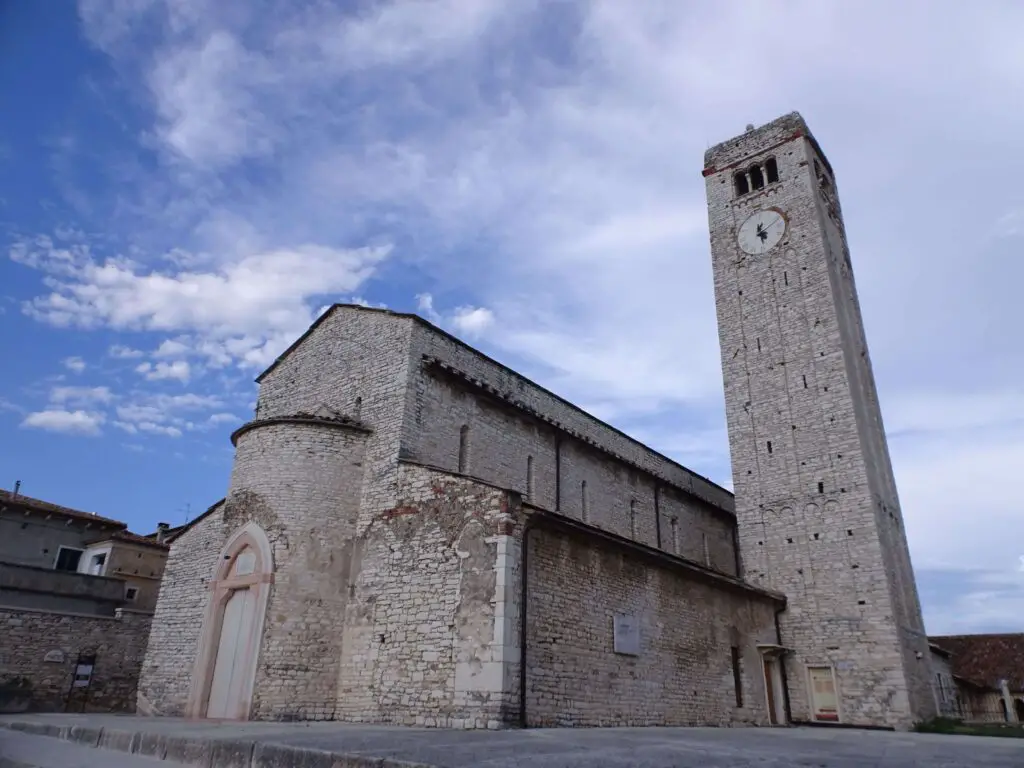
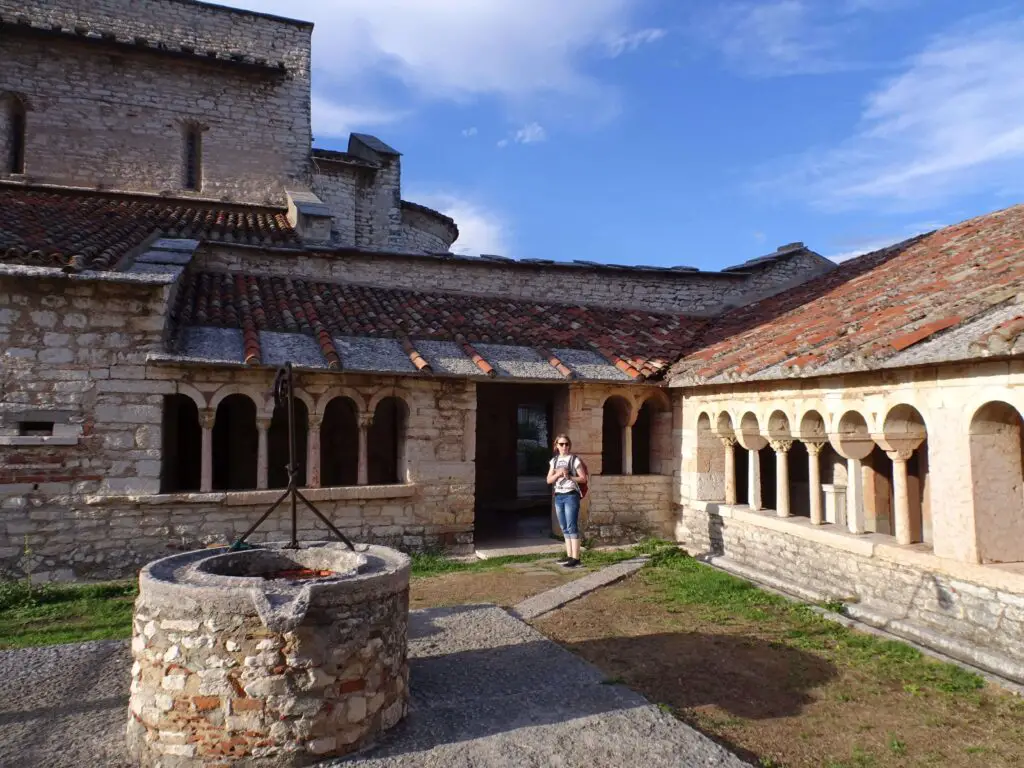
This small medieval hill town has a tiny historic core centered around Pieve di San Giorgio, a pretty parish church that dates to the 11th century. I especially liked the cute cloister and the very well-preserved medieval frescoes on the walls.
There’s also an impressively carved stone ciborium above the altar, which is said to be older than the church and to date to Lombard times (8th century). Next to the church, there’s a small free archaeological museum with artefacts from excavations that took place nearby.
The finds are mostly from the Bronze Age and from Roman times, when the area was populated by the Celtic Arusnati people.
Apart from that, there are a couple of interesting historical buildings around the church square, and there’s a terrace, which has fantastic views over the Adige Valley and west to Lake Garda.
Once you’ve seen everything you want to see, you can drive back to Sant’Ambrogio di Valpolicella, cross the Adige River at Ragano and join the SP8 further north near Caprino Veronese.
At this point the road begins to slope uphill, while it works its way up the mountains of the Monte Baldo massif in a series of switchbacks. Eventually, you’ll reach the village of Spiazzi, which is the trailhead for our next stop, the Madonna della Corona Sanctuary.
Madonna della Corona Sanctuary
This basilica in the Monte Baldo region is one of the most important Catholic pilgrimage sites in northern Italy, because of a legend that a statue of the Virgin Mary allegedly appeared here out of thin air in the 16th century.
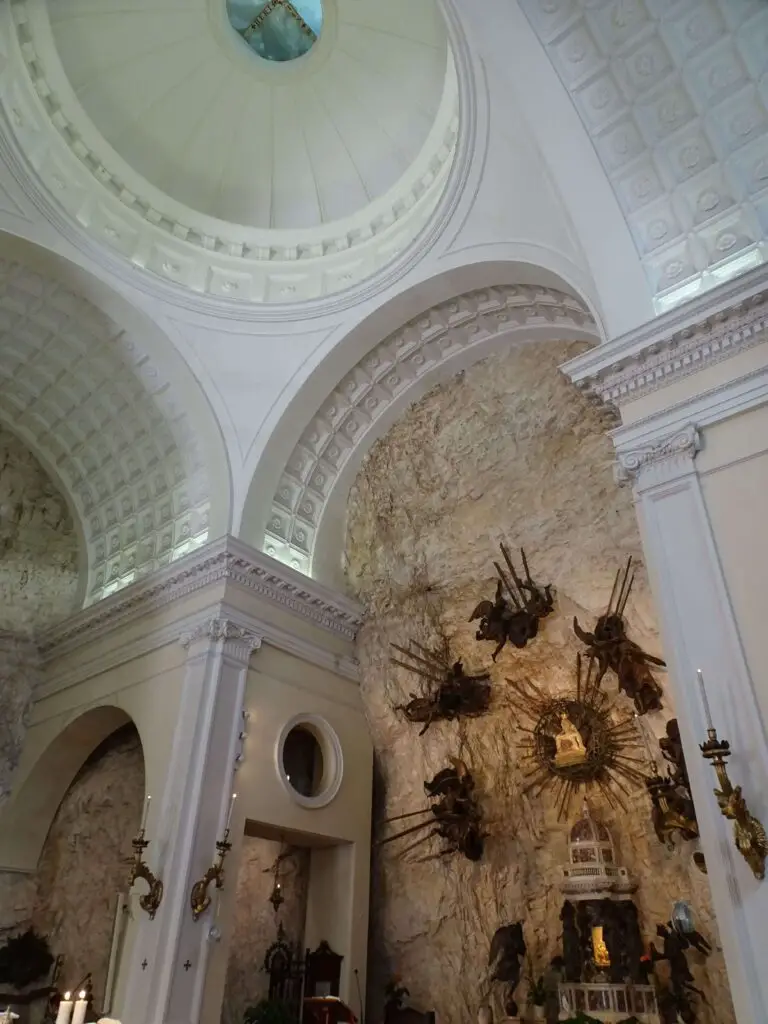
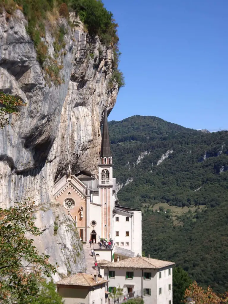
While we somewhat doubted the explanation that it was transported there by angels from the island of Rhodos, we were blown away by the basilica’s spectacular location. It clings to a cliff face hundreds of metres over the floor of the Adige Valley and is one of the most interesting churches we have visited in all of Italy (which is really saying something).
For instance, the architecture of the small Neo-Gothic church is unique, too, as it kind of looks like it morphs into the rock of the mountain. Apart from that, there are some amazing views of the surrounding valleys and many unusual sights all over the grounds.
You can park your car in Spiazzi village and then walk down to the church in about 15 minutes. Check out my dedicated guide to the Sanctuary here, for more information on this amazing place.
Entering the Venetian Prealps
After checking out the sanctuary, you can drive back south along the road you came on until you meet the Autostrada A22 and the slower (and free) SP11, which you can follow north until you’re able to cross the Adige to the eastern side in Rivalta.
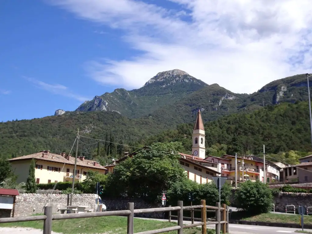
At the northern end of Peri, you can turn right onto the SP57, which will quickly lead you higher into the foothills of the Alps via a series of switchbacks. Definitely take your time as the bends are very sharp here, and it’s impossible to see oncoming traffic until the last moment.
Eventually, the road emerges into the Venetian Prealps, where we were immediately greeted by high mountain pastures full of grazing cows. It felt like a completely different world from the Adige Valley. Turn onto SP33 in Fosse and follow it south, where there are some awesome views back west.
Near Breonio, you’ll have to take the turn-off for Molina, which you’ll reach after a couple of minutes. There’s a big car park, from which you can walk down through the cute village of Molina and southeast along Via della Conciliazione to the entrance of the Waterfall Park.
Molina Waterfall Park
We toured the area on a very hot summer day, so the shady Parco delle Cascate di Molina was an amazing place to cool down a little. There are three hiking routes with different difficulties, which lead to a series of pretty waterfalls and prehistoric cave shelters.
We chose the longest route, which takes about 1.5 hours to complete, passes most of the waterfalls and also has a great look-out point over the river valley towards the end.
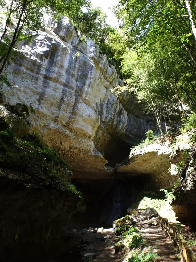
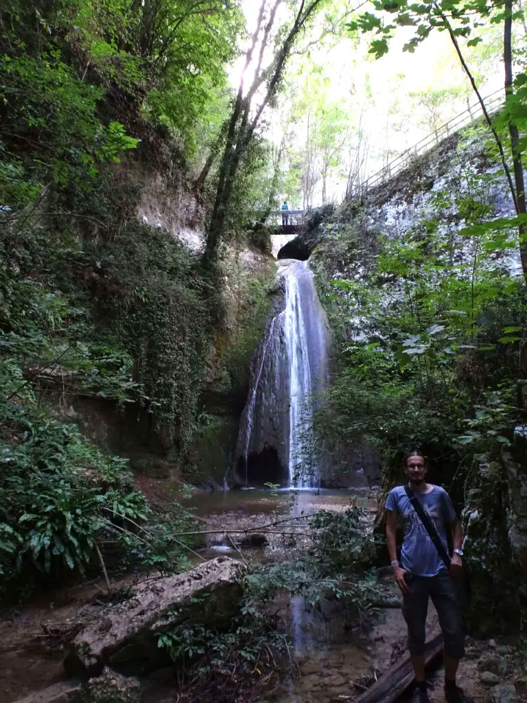
If you need to grab a bite or drink before your hike, there’s a small café near the park entrance. The village itself also has a couple of small restaurants. The entrance to the Waterfall Park was 8€ when we were there. The opening times vary by season. You can check the current ones here.
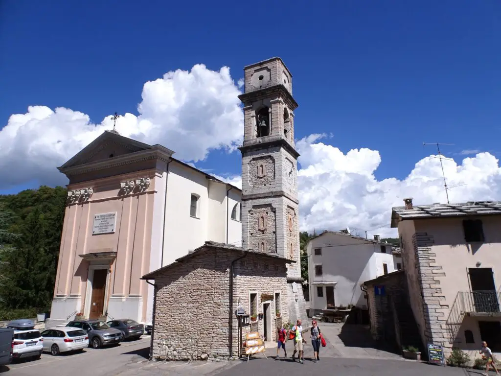
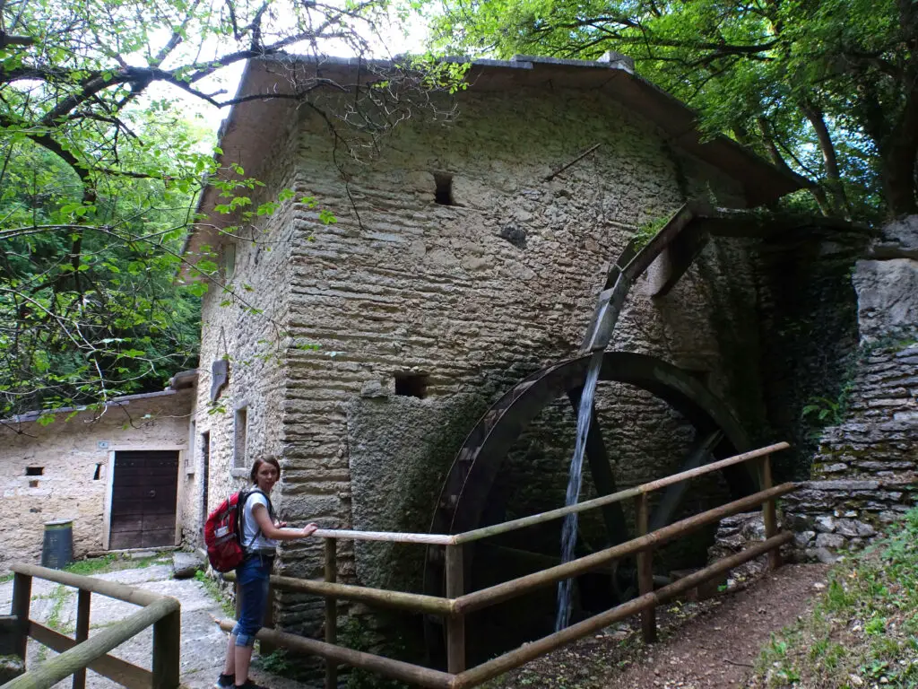
Apart from the park, I recommend checking out Molina’s cute historic village centre, which has a pretty church square and some amazing old watermills at the northern edge of the village.
Dropping by at a Winery on Your Way Back to Verona
After leaving Molina, you can follow the road south out of the village and continue until you reach Fumane. Around this town, you’ll find the highest number of wineries in the region, like Nicoli’s Winery or Palazzo Montanari Winery, where you try the local wines.
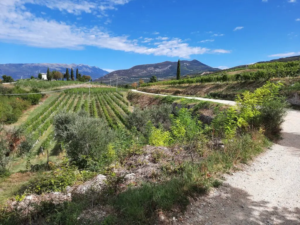
Keep in mind that you still need to drive back to Verona afterwards, so bring some time and maybe take a stroll afterwards, before continuing on. From Fumane, you can drive south along SP33 until you reach the Via del Brennero, which you can follow east back into Verona.
Valpolicella Driving Tour Map
This map shows the exact route we drove to explore the Valpolicella region.
Practicalities
How Long Is the Tour?
If you follow our route, the entire drive is about 115 km or a little over 70 miles.
How Long Does It Take?
If you want to stop at all the places that I’ve mentioned (and maybe also stop once in a while to check out a great view or cute village), you should plan an entire day. We started around 9am and were back in Verona around 6pm.
Where to Stay in Verona
We stayed in a cheap Airbnb that doesn’t seem to exist anymore, but there are some other budget options in the city, like StraVagante Hostel & Rooms near the Porta Nuova train station.
Otherwise, there are plenty of midrange places, like Relais Balcone di Giulietta. Finally, Palazzo Monga Boutique Guesthouse would be a well-rated luxury choice. Especially in the summer, it’s best to book a little in advance, as prices tend to skyrocket.
See Also
What to Know About Visiting the Locations from Romeo and Juliet in Verona, Italy
The 4 Must-See Churches in the UNESCO-listed centre of Verona, Italy